Central Vietnam ơi, beware.
Though Storm Saudel, this season’s 8th typhoon, was predicted to hit Vietnam on Sunday, it fortunately weakened into a tropical depression at sea before entering mainland Vietnam. According to the National Center for Hydrometeorological Forecasting, Saudel’s downgrade was due to the effects of dry, cold air and cool seawater on its path. As the depression moves further inland, it will gradually become a low-pressure area.
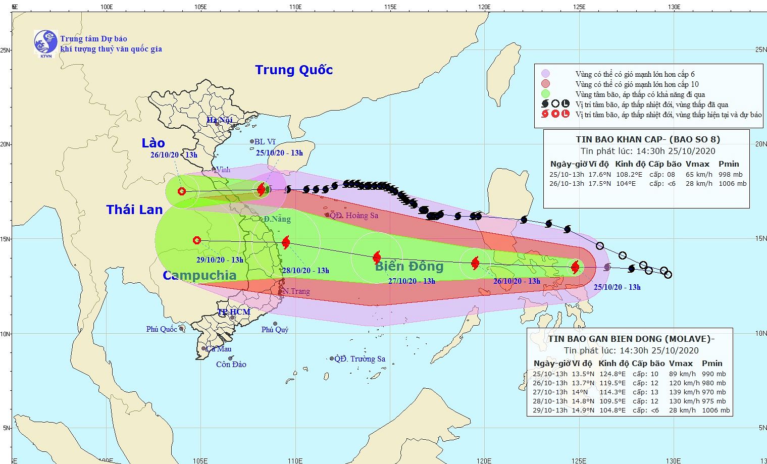
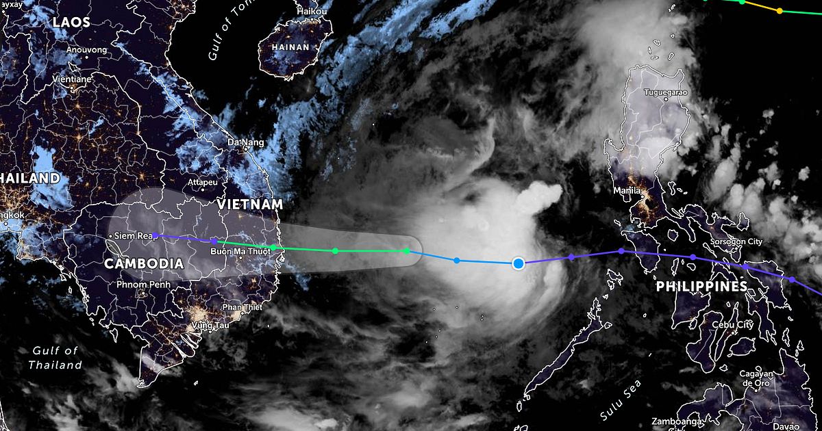
Any celebration, however, will be short-lived, as another typhoon has formed off the coast of the Philippines and entered the East Sea today. Named Molave, the new typhoon will be this storm season’s 9th to batter Vietnam and it’s no weakling. Predictions by forecasting agencies show that Molave is fast-moving and constantly strengthening as it careens past warm stretches of sea on its way.
In the next 48 hours, Molave will move westward at a speed of 20–25 km/h. On the morning of October 28, it will be right off the coast of provinces from Da Nang to Phu Yen. Still, with a wide area of effect, the storm can bring downpours to maritime communities as early as this evening, October 26.
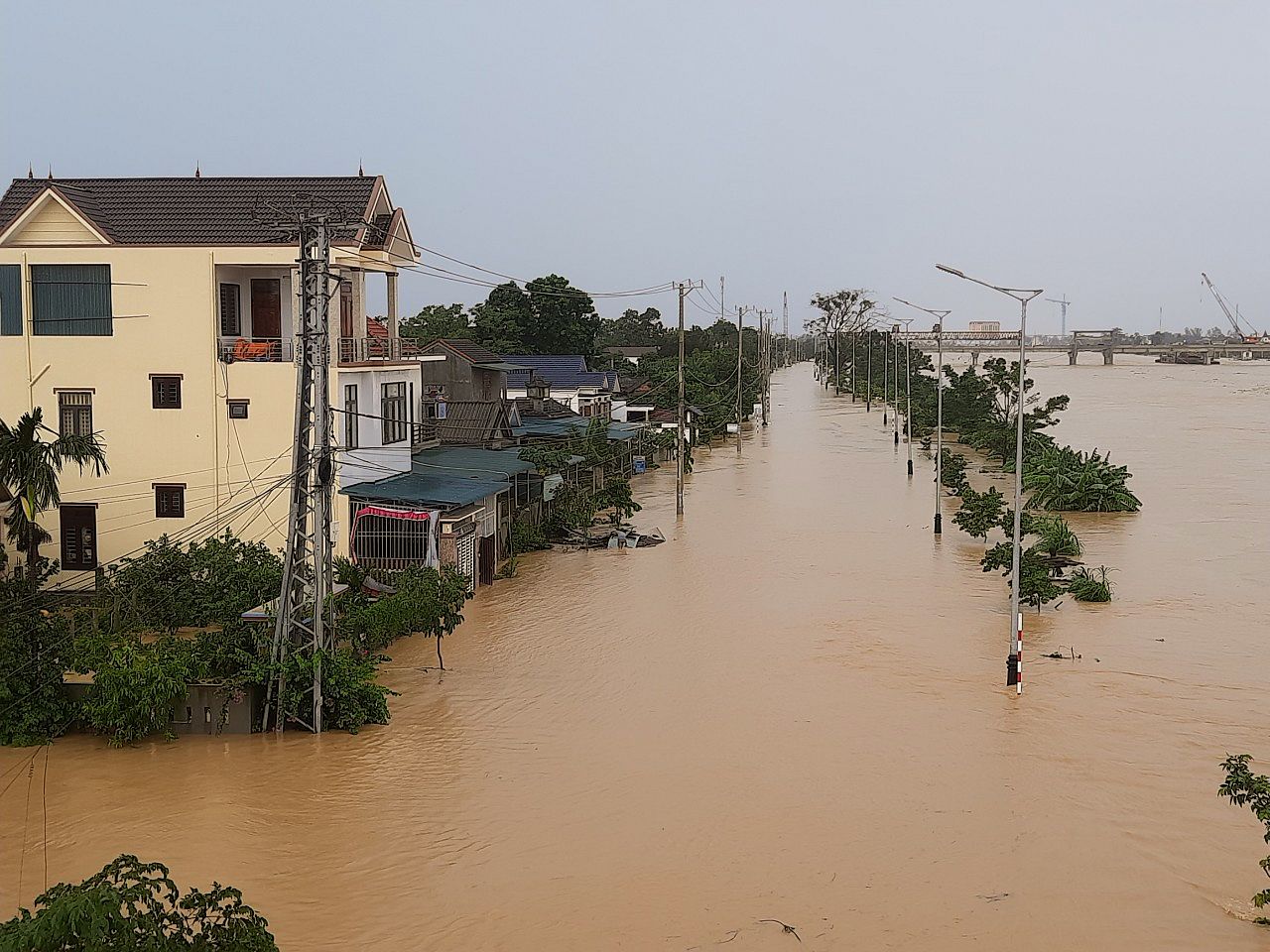
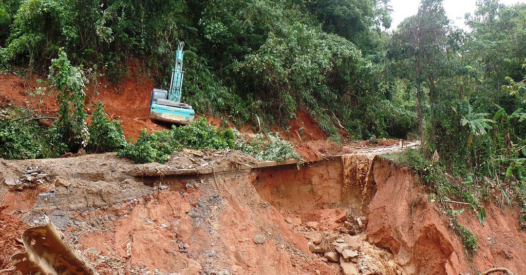
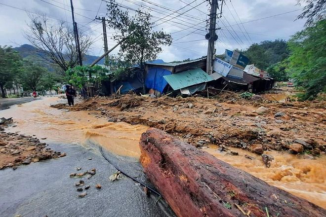
According to this forecast trajectory, the storm is likely to spare the North Central Coast — Thua Thien-Hue, Quang Tri, Quang Binh, and Ha Tinh — which bore the brunt of extreme weather conditions in the first weeks of October. However, with a capability for calamity predicted to match that of 2006’s Xangsane and 2017’s Damrey, the storm’s arrival puts provinces on the South Central Coast at significant risk of destruction.
[Photo via Bao Tin Tuc]

