With every uncovered archive of old photos, we come closer and closer to reconstructing a complete tapestry of life in past eras.
The city that we know today as Ho Chi Minh City used to only consist of central District 1 and parts of Cho Lon. As time flies and Saigon’s population expands, more areas are added to the town’s official map. For instance, Phu My Hung in District 7 didn’t even exist until the late 1990s while Tan Phu District was only separated from Tan Binh District in 2003.
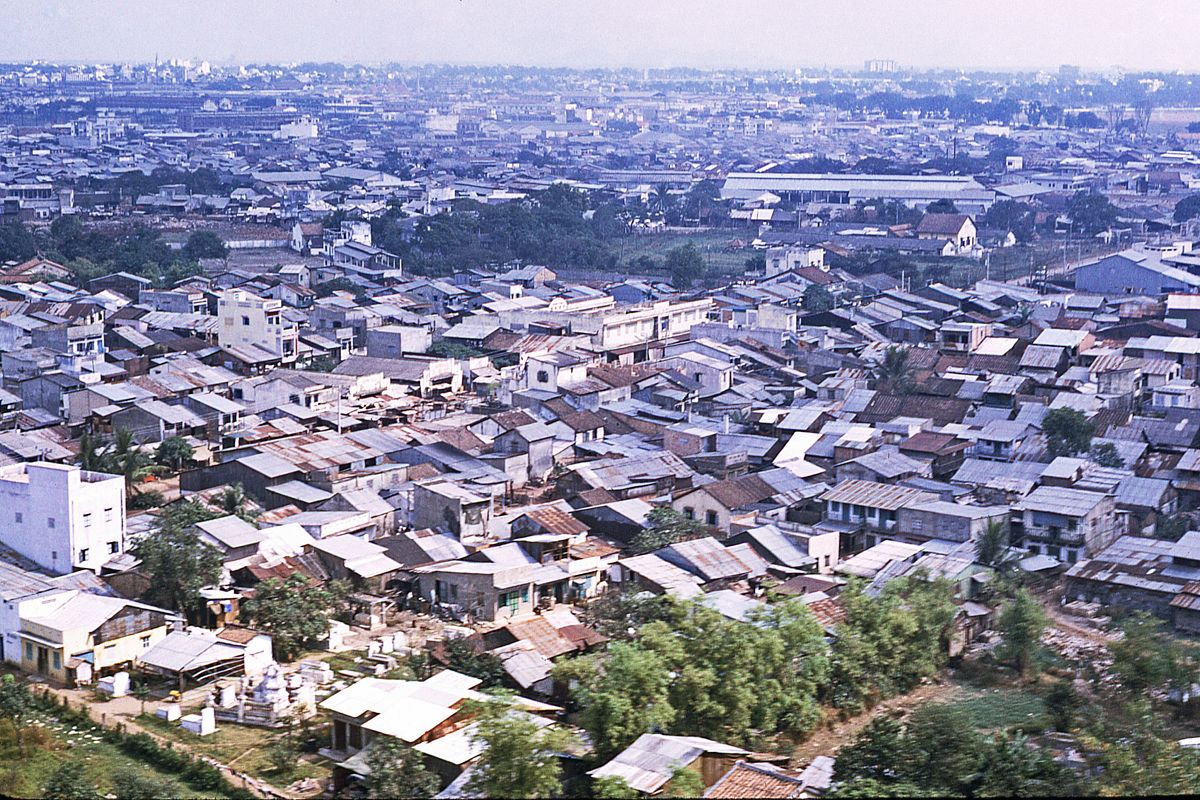
In this collection of images, taken by an American, George Lane, we get a gander at Saigon—both old and new. There are downtown landmarks that many might recognize, like the Opera House or the Lam Son Square, but also austerity and featureless shanty towns that only started to undergo development in recent years appear.
Have a look at Saigon in 1969 through the photos below:
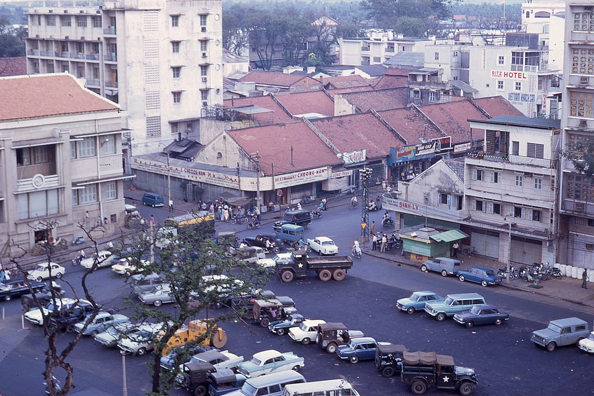
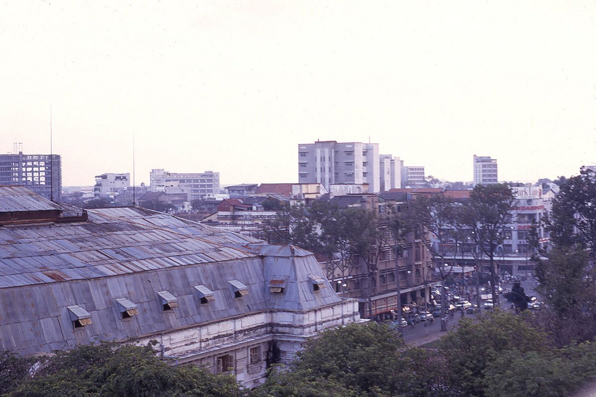
Lam Son Square from the view of the Park Hyatt Hotel now.
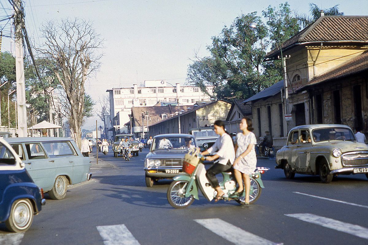
Compulsory helmets weren't a thing in the 1960s.

A hearse heading toward the Hang Xanh Intersection.

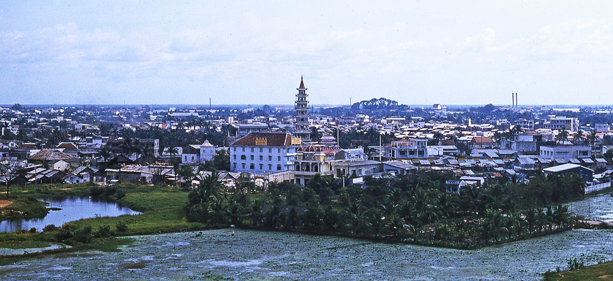
Local buses congregate near Chau Thoi Mountain.

Christmas decorations were sold streetside.
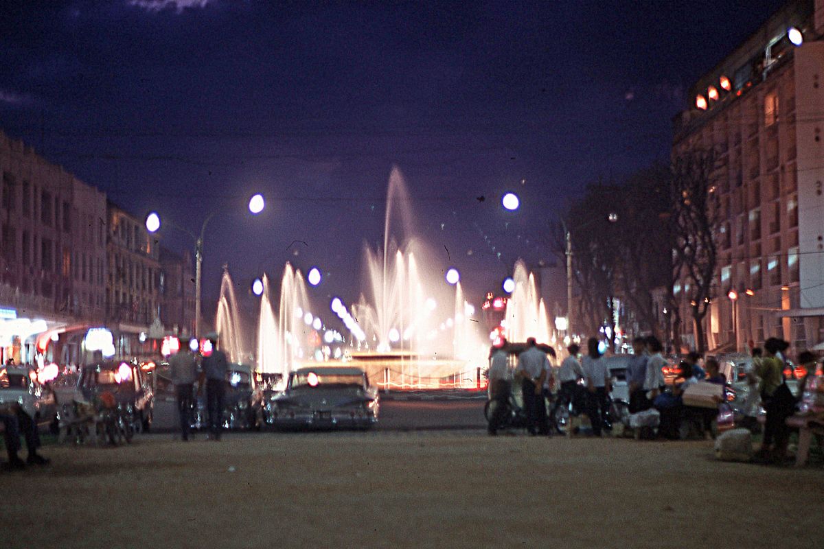
The fountain in Lam Son Square.
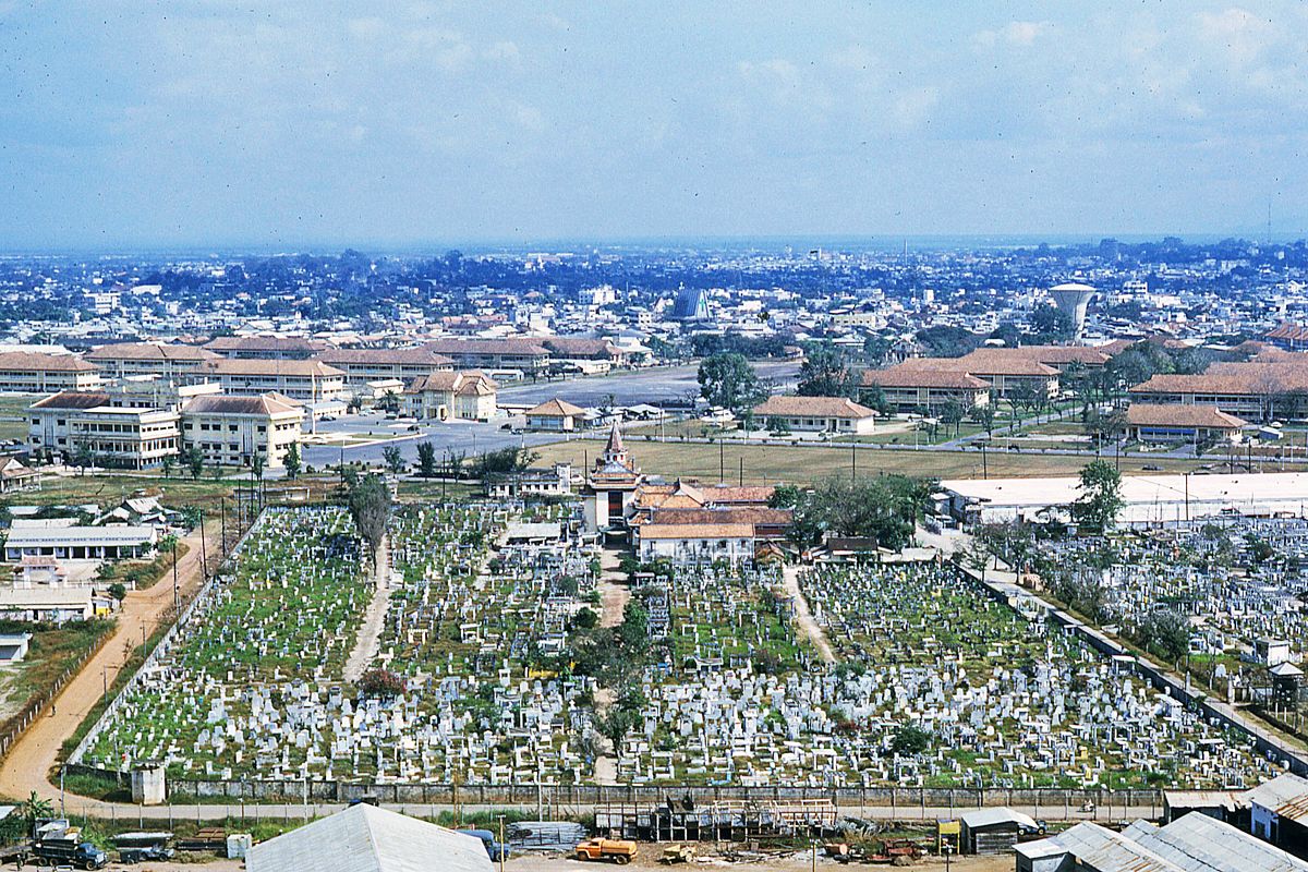
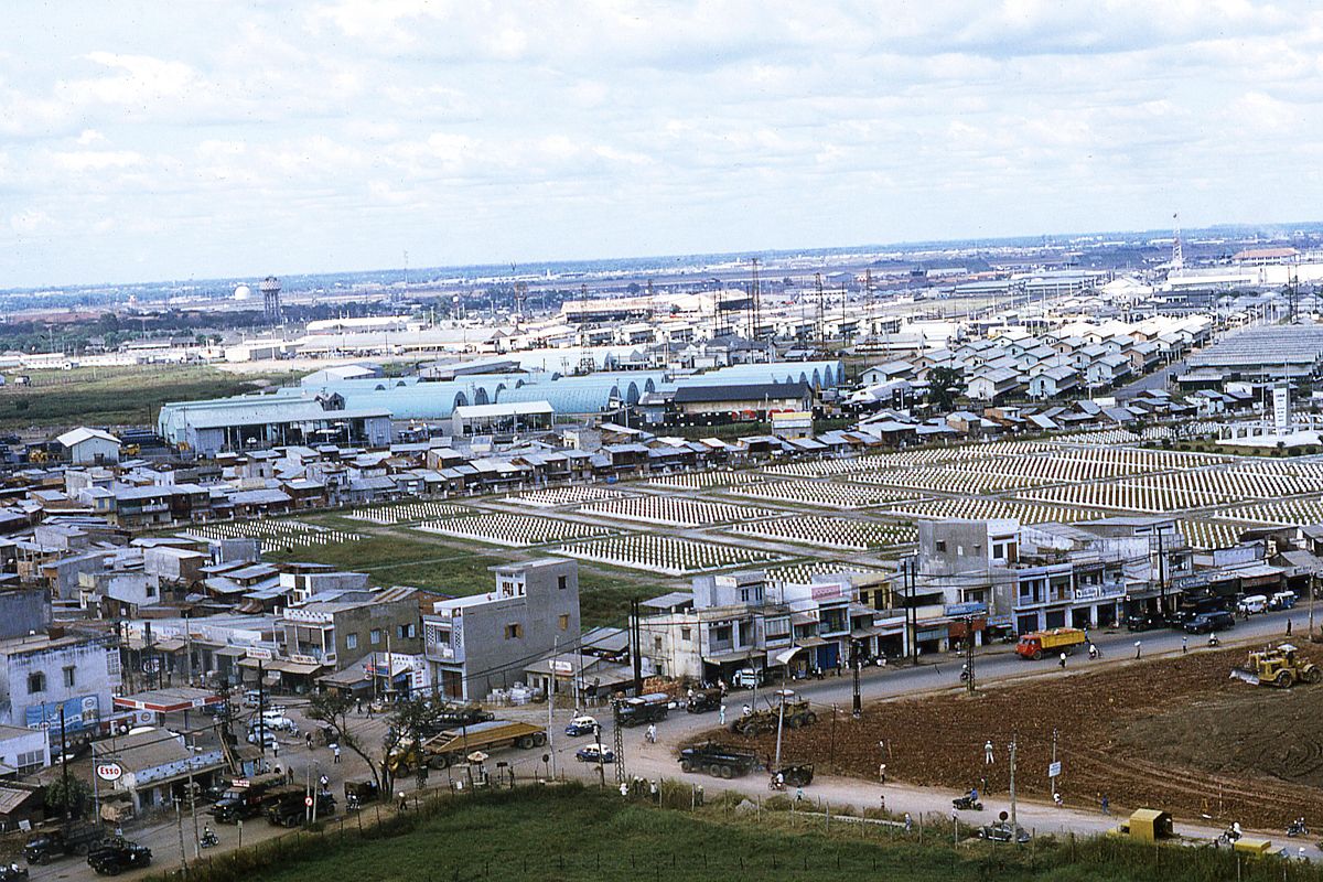
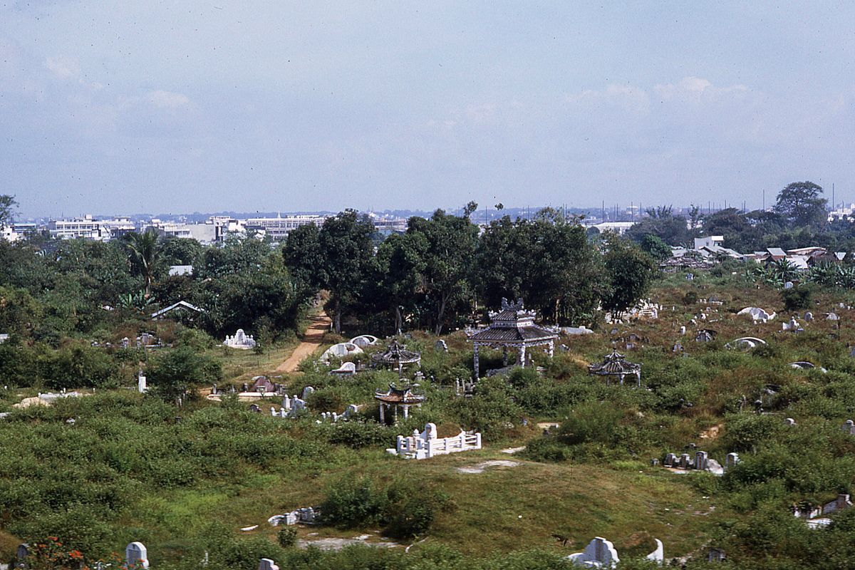
The Bac Viet Cemetery.
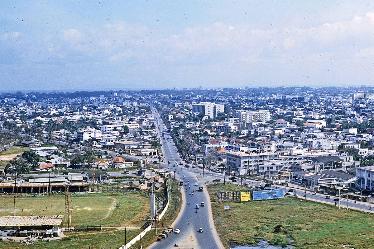
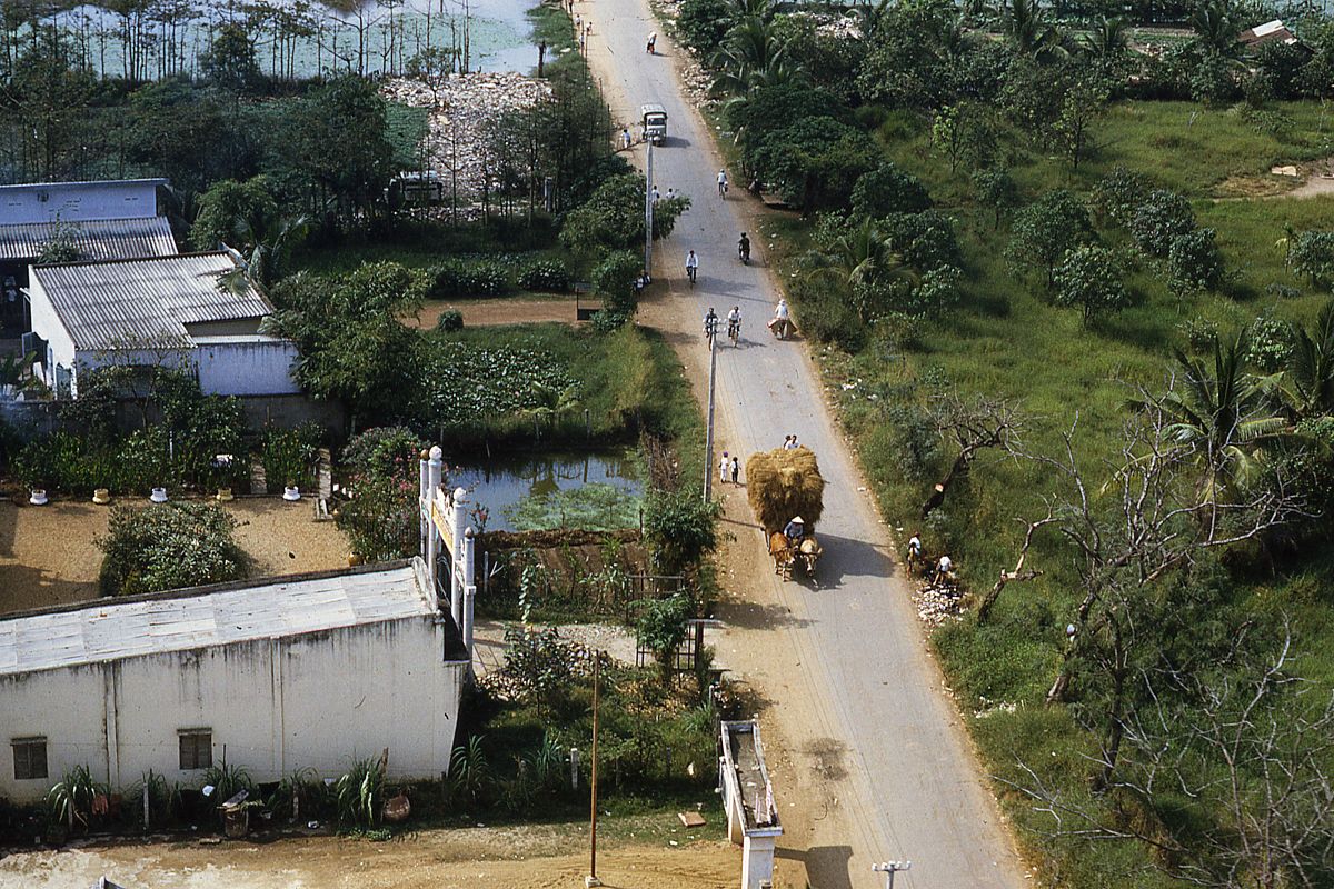
The main road leading toward the Tan Son Nhat Airport.
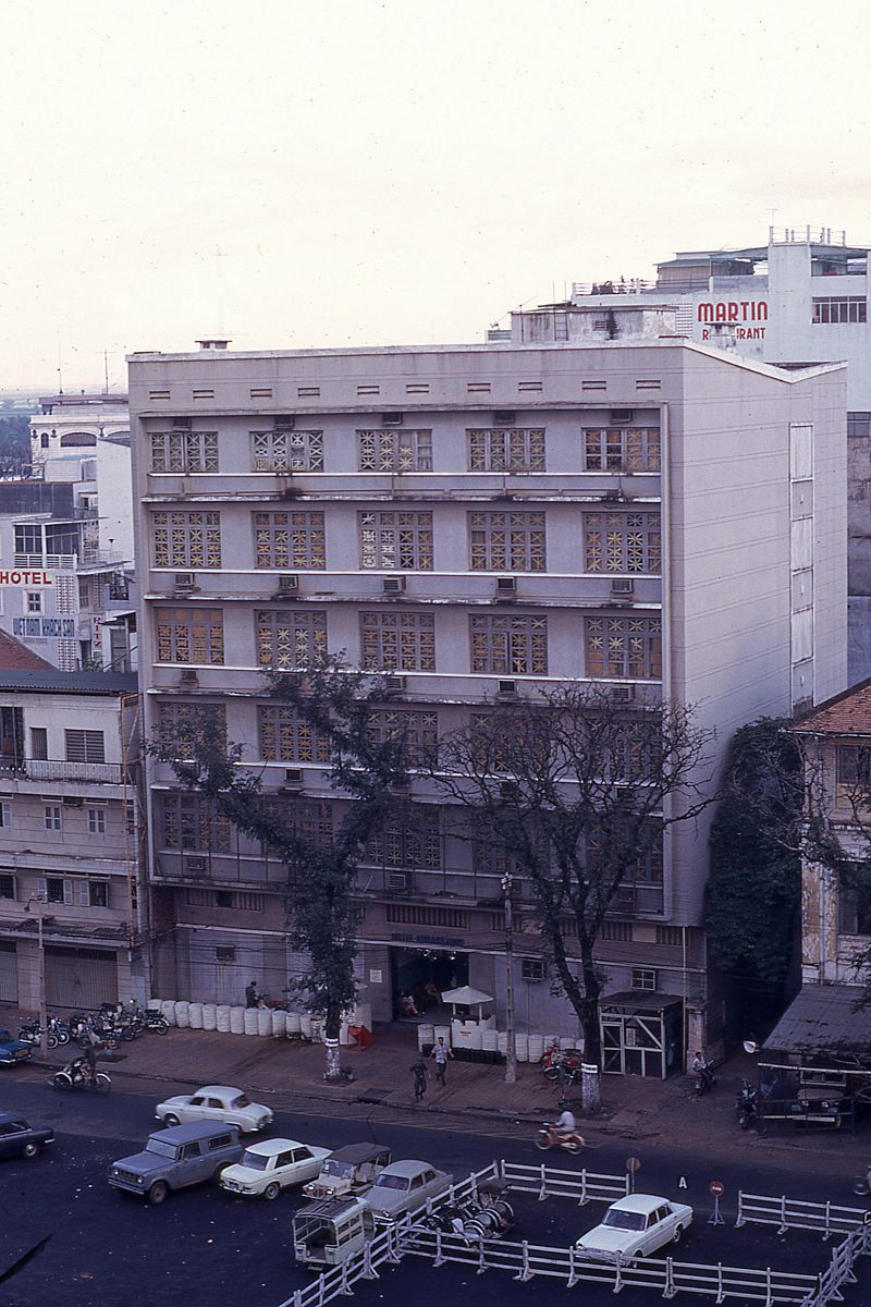
Left: the Ambassador Hotel. Right: the iconic toward near the Hang Xanh Intersection.
The cemetery near Bay Hien Intersection.

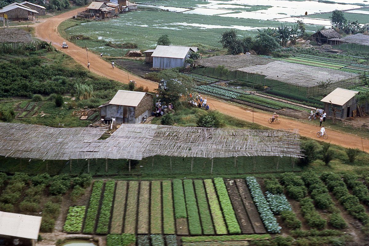
A vegetable garden in Phu Lam, District 6.

An incense workshop on Ba Hom Street.
Ba Hom Street in Phu Lam.

A view of the Nguyen Hue-Le Loi intersection.
[Photos via Flickr user manhhai]


