Did you know that Hung Vuong Street used to run alongside a railway connecting Saigon with My Tho?
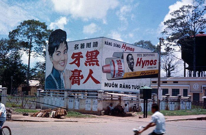
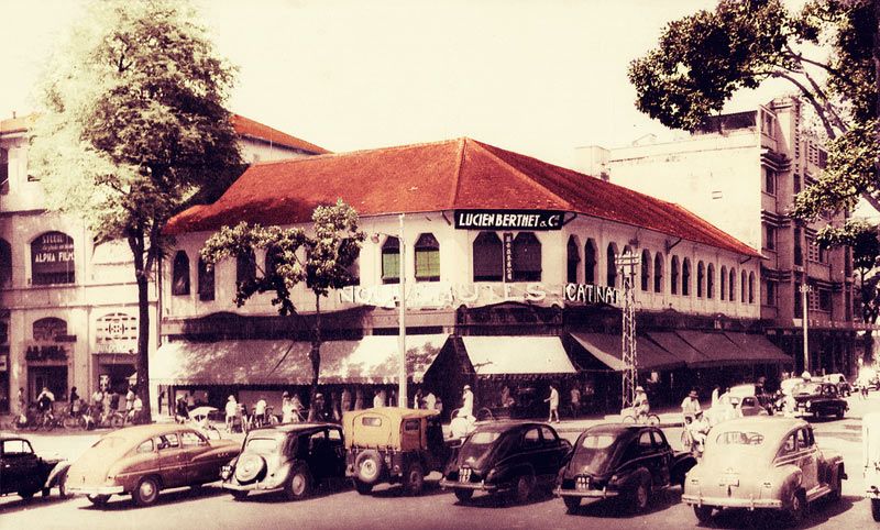
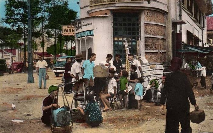
In 1966 and 1967, Australian serviceman Allen McKenzie was stationed in Vietnam. These film photos were taken during many of his trips wandering around the city. McKenzie’s snapshots captured some rarely seen facets of Saigon in the 1960s. The city center of District 1 is more than well-documented by tourists and famed photographers alike, but that sheen of glamor did not reflect the rest of the town’s conditions.
Working-class communities sprouted up along railways, around wet markets and along riverbanks, forming tight-knit but squalid neighborhoods. Today, most Saigon residents have moved on to better living conditions: shanty towns along the Nhieu Loc-Thi Nghe and Tau Hu canals — as shown in McKenzie’s images — dispersed as city authorities cleaned and revamped the waterways.
Have a look at Saigon in the late 1960s below:

Rows of shopfronts in District 6.

Houses on Hung Vuong Street.

An old tenement on Hung Vuong Street by the railway.

A section of the railway filled with trash left over from an earlier market session.

A hotel on Dong Khanh Street (now Chau Van Liem).

In Cho Lon.

Ba Thang Hai Street.

Nhieu Loc Canal.

Nhieu Loc Canal.

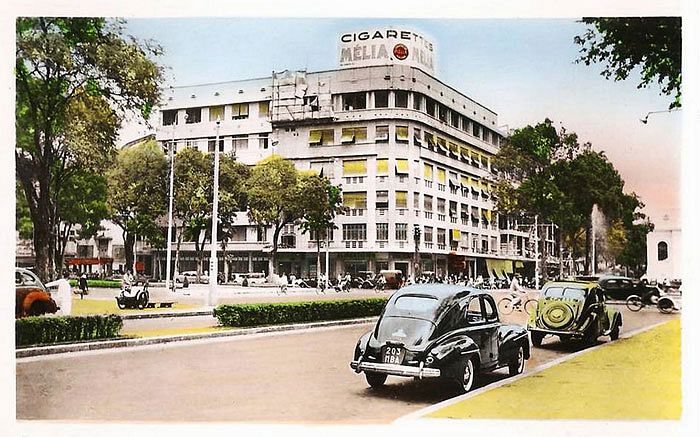
Modernist architecture in Saigon.

The author of the photos with his camera at Viet Nam Quoc Tu Temple on Ba Thang Hai Street.

A Chinese opera performance.

Tau Hu Canal.

Tau Hu Canal.
[Photos via 103 Field Battery RAA]


