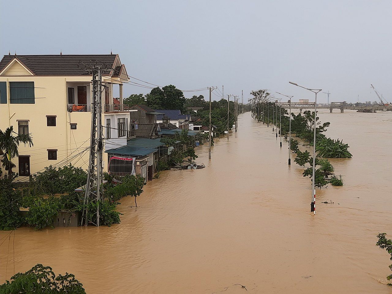
In the next 24 hours, provinces in central Vietnam should expect very heavy rain and subsequent flooding as newly formed tropical storm makes landfall.
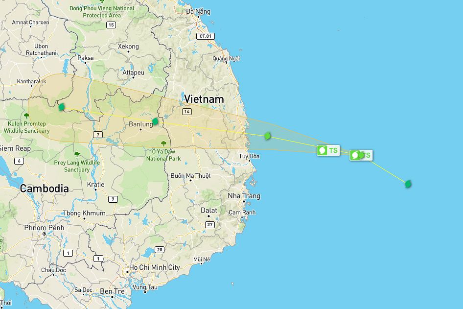
According to the National Center for Hydro-Meteorological Forecasting, a tropical low-pressure system off the coast of Nha Trang strengthened into a typhoon early this morning, October 30. The storm, named Matmo, is the fifth to impact Vietnam this year. As of 7am today, it was about 260 kilometers off the Binh Dinh coast.
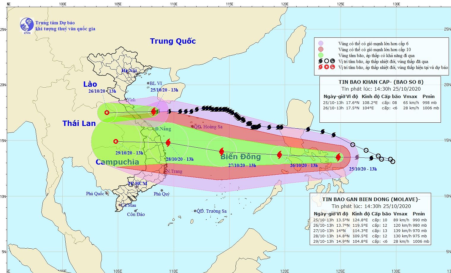
Forecasts predict that in the next 12 hours, Matmo will move eastwards at 15–20 kilometers per hour, with a chance of further strengthening. At 4pm today, it will make landfall on the coast of Quang Ngai and Ninh Thuan provinces and slowly make its way across central Vietnam while weakening into a low-pressure system before reaching Cambodia.
Due to the typhoon, on October 30 and 31, provinces from Thua Thien-Hue to Ninh Thuan and the Central Highlands should expect torrential rain of 300–400mm. Binh Dinh and Khanh Hoa, however, will experience 400–600mm of rain as they’re directly in the storm’s path.
The rain will continue well into November 2 from Thua Thien-Hue to Ninh Thuan, albeit not as heavy.
While the southern edge of central Vietnam rarely experiences typhoons, unlike provinces farther north, the last time it did, the damage was widespread and severe. In 2017, Typhoon Damrey swept through Nha Trang, Hue and Ninh Thuan, resulting in 44 deaths, 22 missing and 40,000 damaged houses.
[Map via Wunderground]


