While Saigon’s first-ever metro project is inching slowly towards the finish line, city transportation officials are devising plans to integrate the upcoming urban railway into existing public transport infrastructure.
Back in January, after a rough December without sufficient funding to pay staff, the government greenlit an additional VND52 trillion for Ho Chi Minh City’s first two metro lines. Since then, progress on the much-anticipated but long-delayed first railway line has been going swimmingly. According to Nguyen Thien Nhan, a member of the politburo, the city is pushing for the first metro line to be completed in 2020.
Metro Line 1 will span 19.7 kilometers with 14 stations. It will start at Ben Thanh Station and continue underground through Opera House Station and Ba Son Station. The rest of the stations are above-ground, crossing the Saigon River and serving residents of District 1, 2, 9, Binh Thanh and Thu Duc districts. The line ends at the Suoi Tien Station right on the edge between HCMC and Binh Duong Province.

The planned route and names of Saigon Metro Line 1 stations. Graphic via Metro Saigon Wordpress.
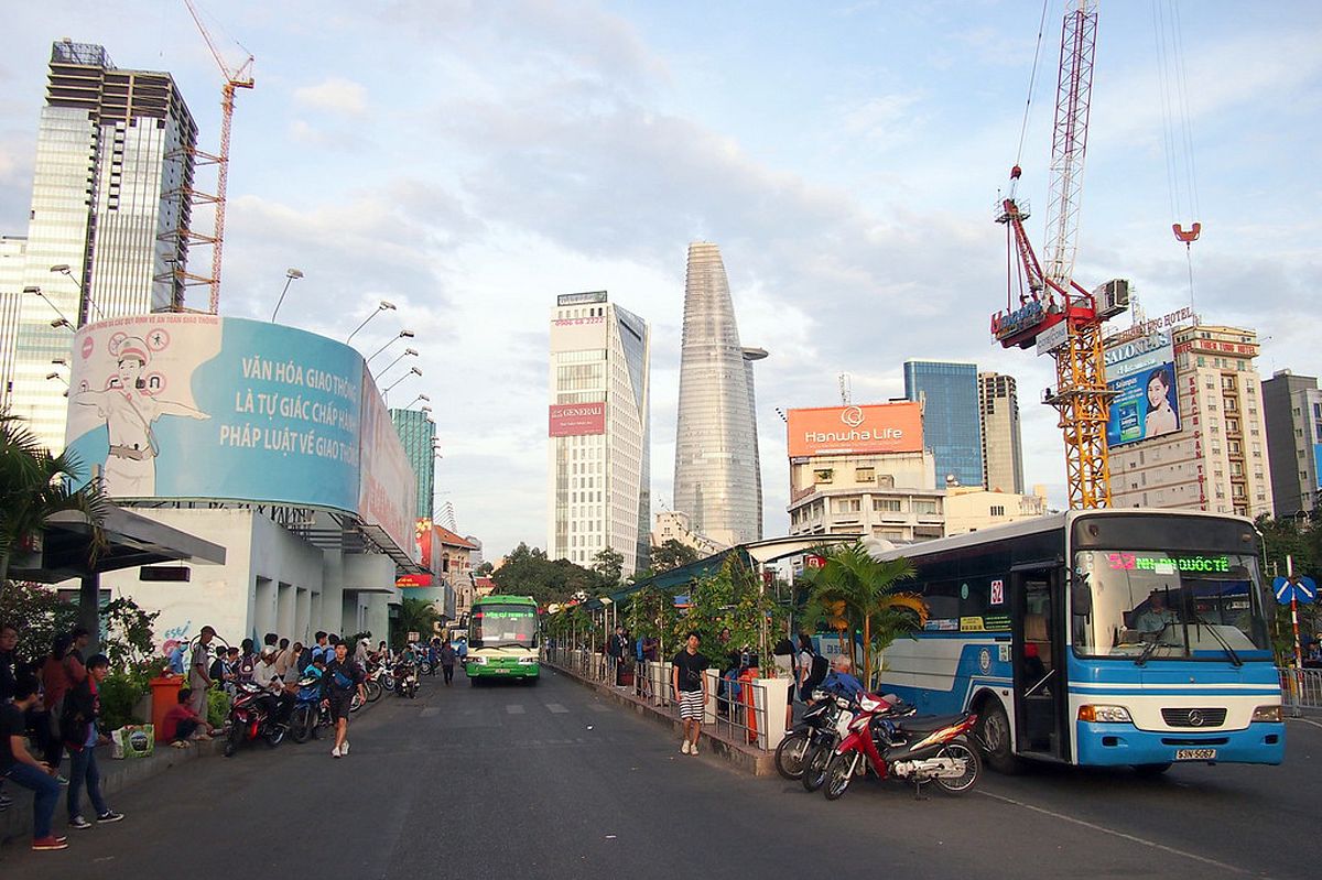
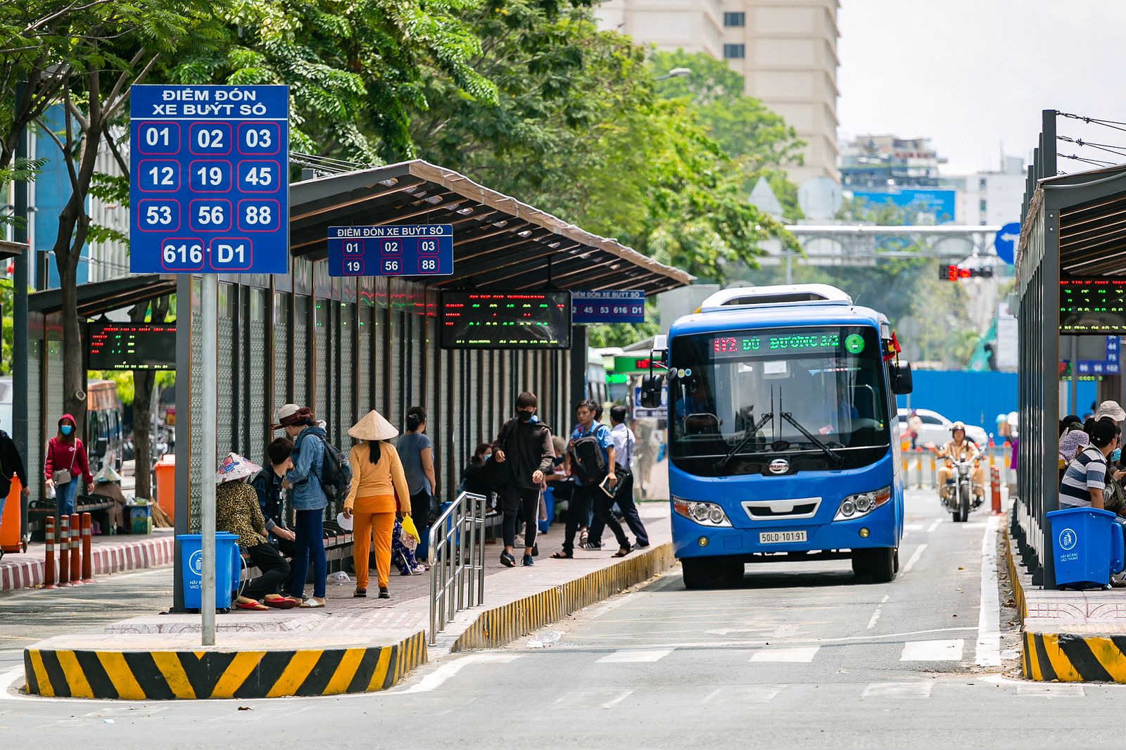
Director of the HCMC Public Transport Management Center Tran Chi Trung told Tuoi Tre that his office was tasked with restructuring the entire bus network along the urban railway line, using previous studies by Japanese consultants, to maximize metro usage. Specifically, bus lines will shift from the current point-to-point mode to a branch mode in which buses will reach into residential nodes to collect commuters to feed into the metro line.
“We will try to establish a bus station every 500 meters so citizens can travel by bus directly to the nearest metro station along the Hanoi Highway,” Trung elucidated. Buses will run within a 4.2–17.8 kilometer radius from the stations to serve passengers from nearby university campuses, high-tech parks, amusement parks, shopping malls, and more.
Aside from bus lines, according to Head of the HCMC Management Authority for Urban Railways (MAUR) Bui Xuan Cuong, the integration plan is considering connecting the metro with forms of water transport. Of the metro stations, Ba Son in District 1 and Tan Cang in Binh Thanh are right on the banks of the Saigon River, making them ideal to be linked with existing boat quays and the Waterbus line.
Another issue raised by the plan is the fact that the metro line is located on the left side of the Hanoi Highway when considering the direction from the inner city to District 9. This will pose accessibility problems to those living on the right side of the highway. Thus, MAUR is also proposing pedestrian overpasses across the highway, which are in the design phase to be built in 2019. Cuong added that at the moment, construction progress on the metro stations sits at 80%, the news source shares.


