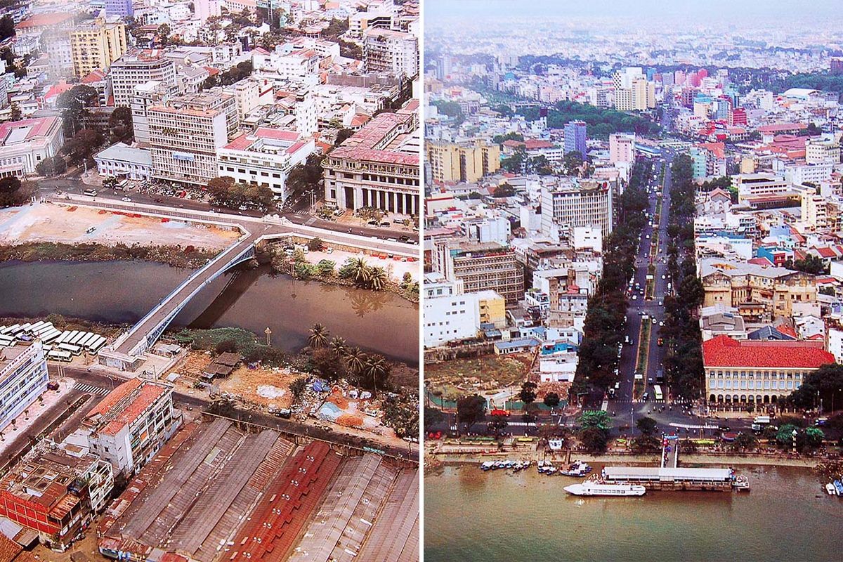
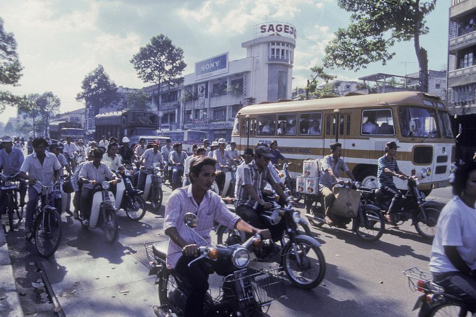
2002 might not seem like a long time ago, but Saigon’s urbanscapes have grown so much in the last ten years that these scenes offer some surprising insights into our city 17 years in the past.
For one, the Bitexco Financial Tower — considered by many as Saigon’s unofficial icon — was non-existent, while Nguyen Hue was still a boulevard and not a walking plaza. Recently District 1 administration decided to ban all traffic on the pedestrian street on weekends altogether.
In 2002, Vo Van Kiet Avenue was the narrower Ben Ham Tu Street and the Tau Hu Canal was still home to trash piles and murky water. The situation has vastly improved since the canal banks were revamped in the late 2000s.
Have a look at these rare aerial photos of Saigon in 2002 below:
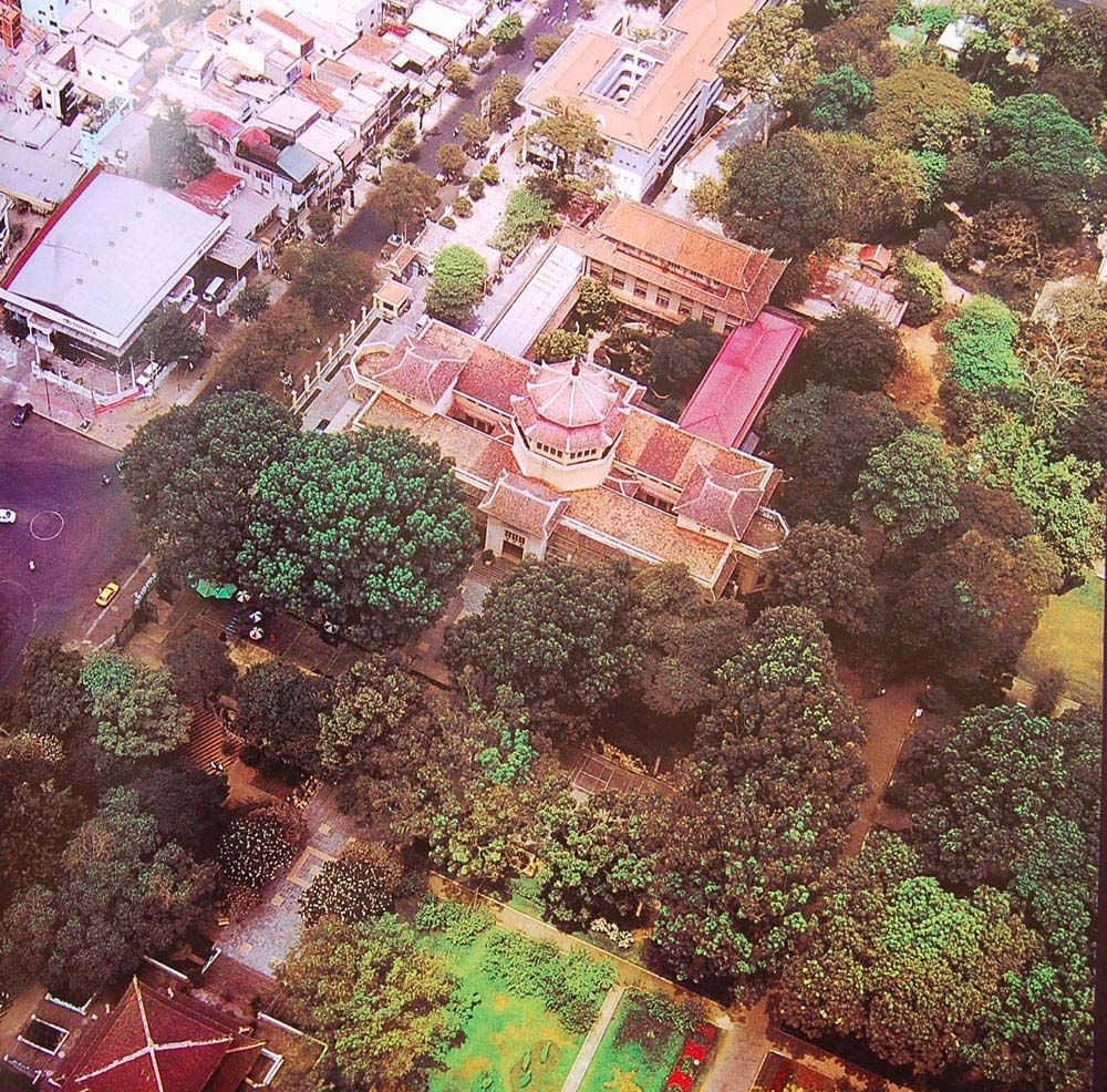
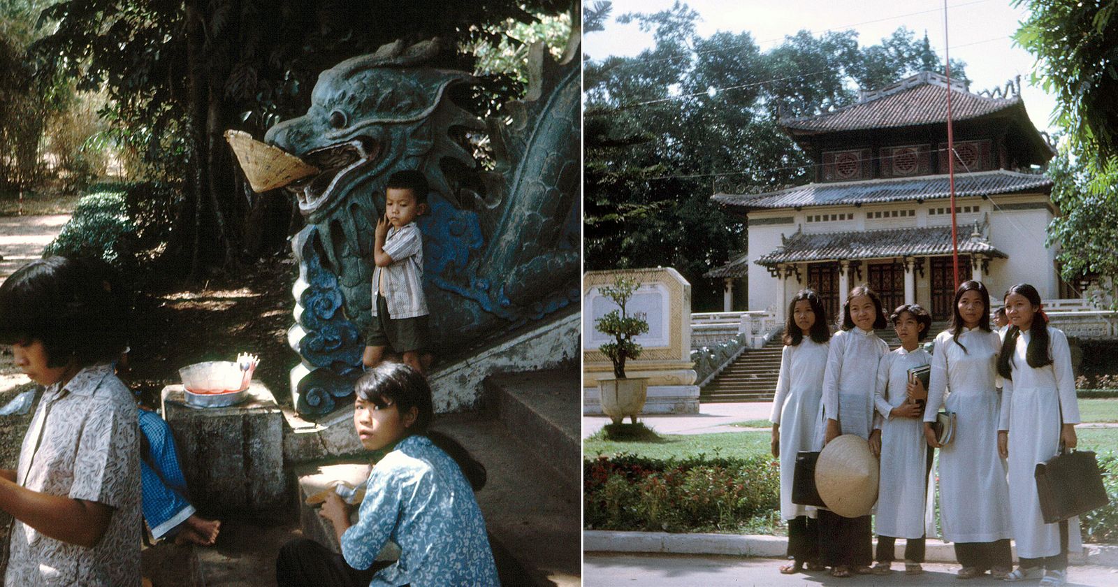
Museum of Vietnamese History at 2 Nguyen Binh Khiem Street.
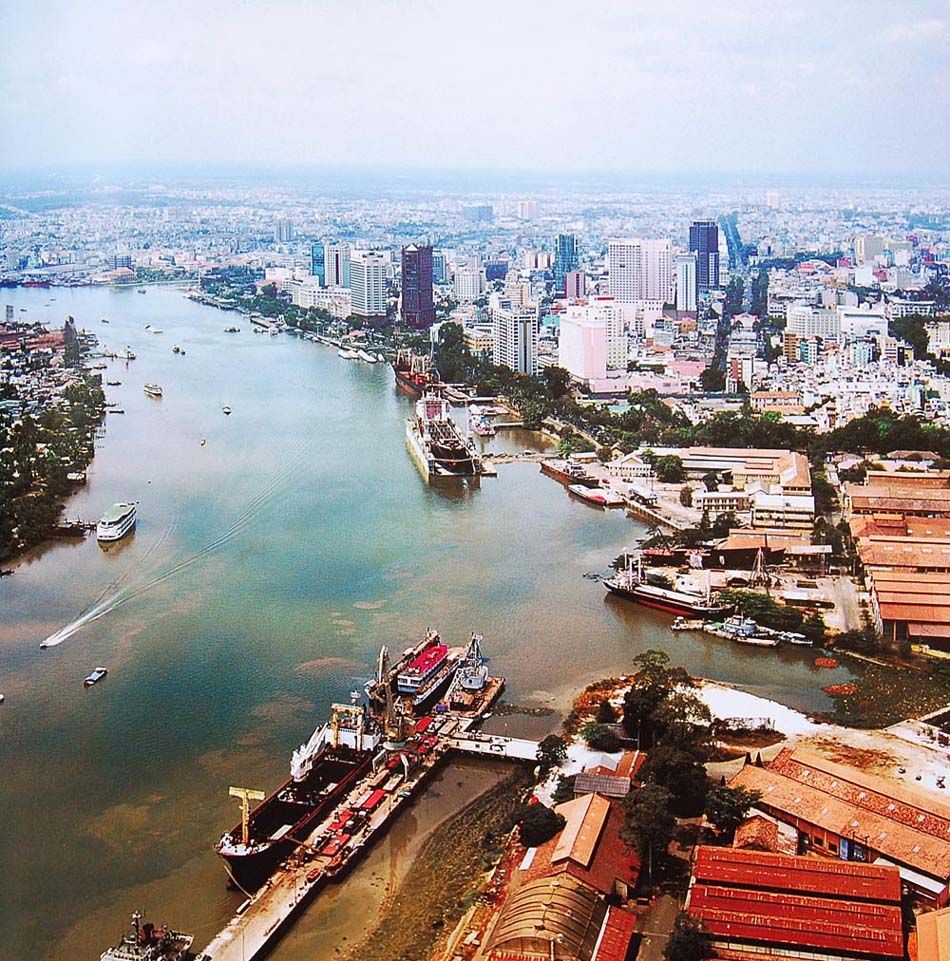
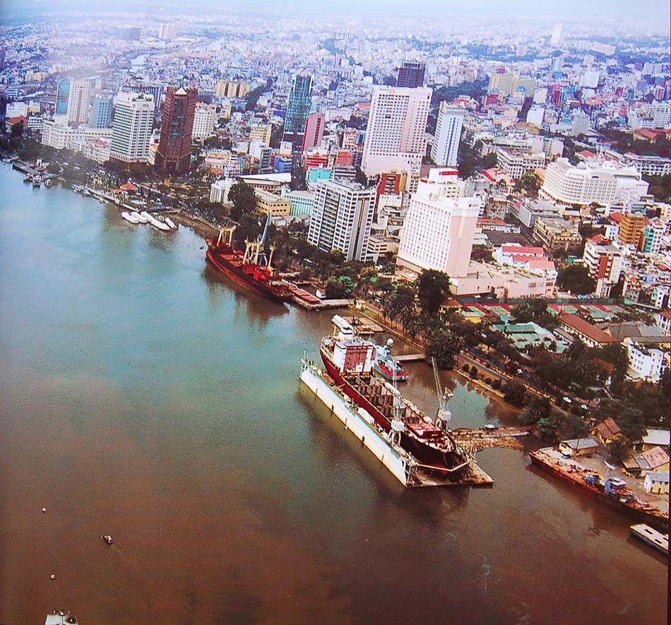
Bach Dang Wharf.
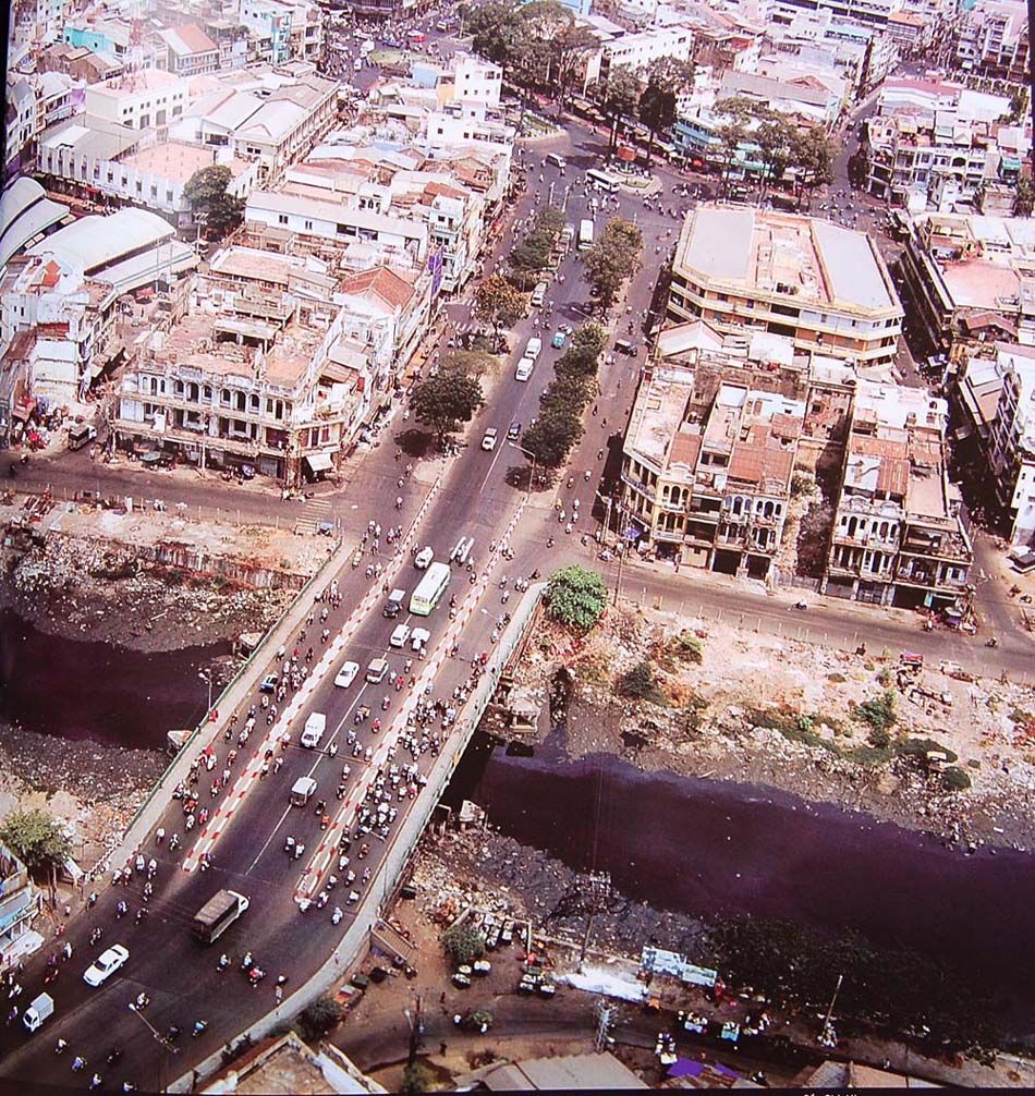
Cha Va Bridge in District 8.
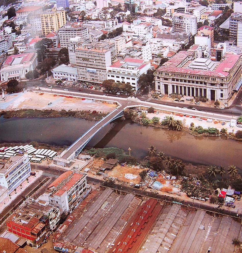
Mong Pedestrian Bridge connecting District 1 and 4.
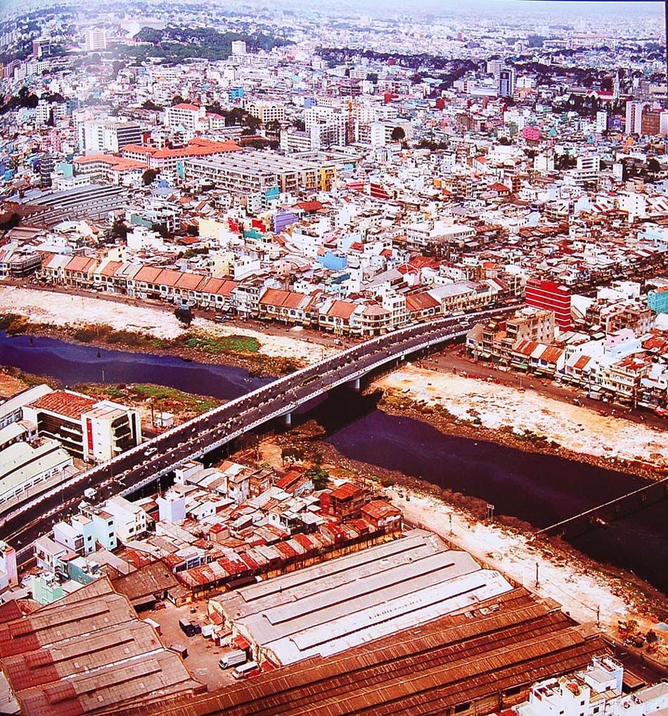
Ong Lanh Bridge connecting District 1 and 4.

District 6 and Binh Tay Market.
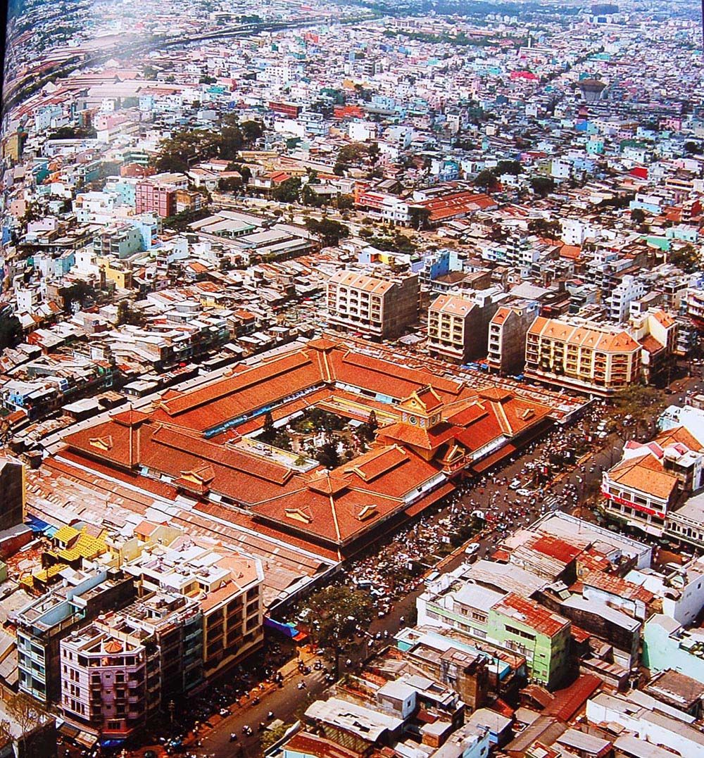
The Binh Tay Market compound.
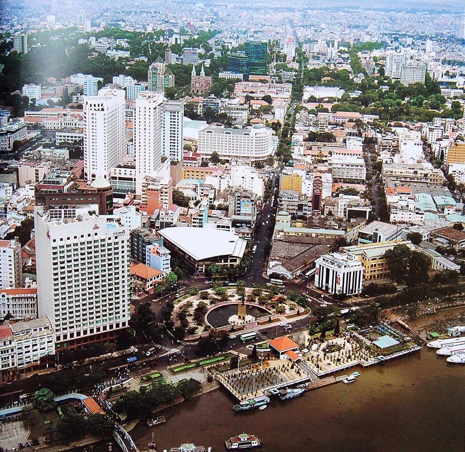
Me Linh Roundabout.
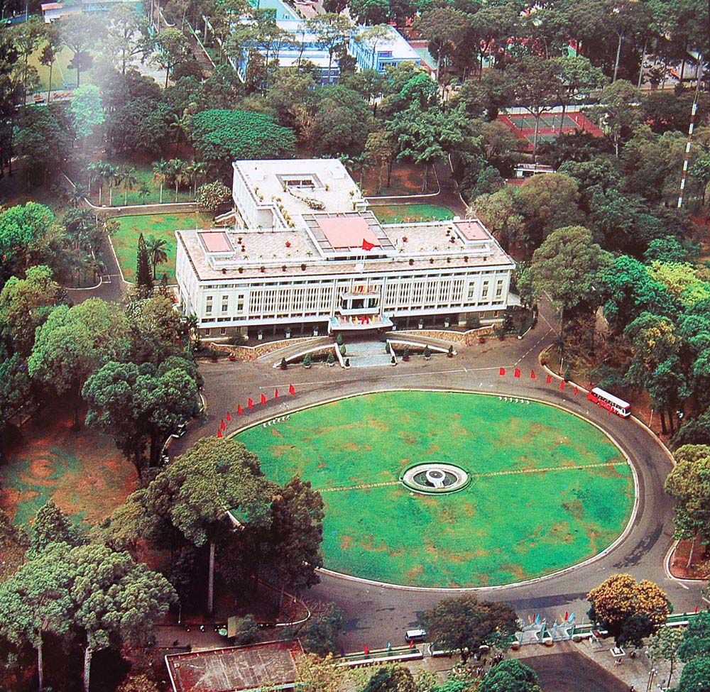
Reunification Palace.
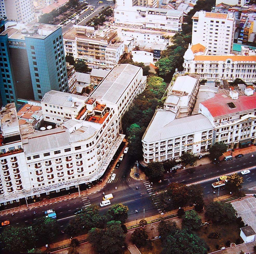
The Dong Khoi-Ton Duc Thang intersection.
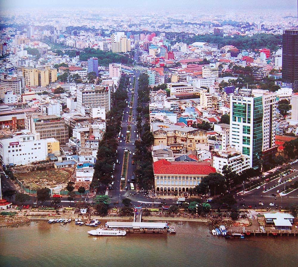
Ham Nghi Boulevard.
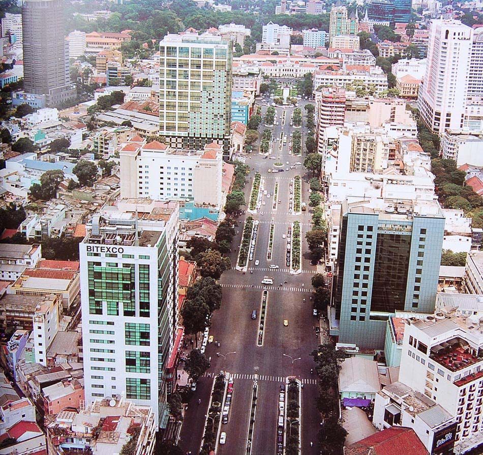
Nguyen Hue Boulevard.
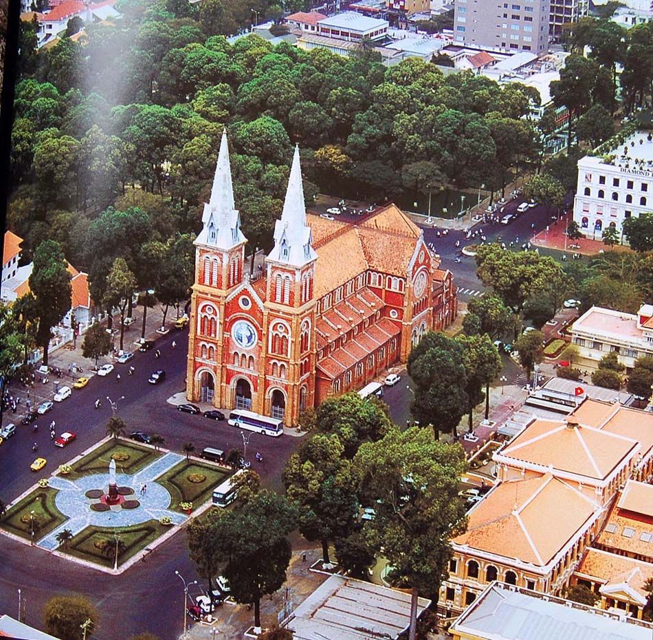
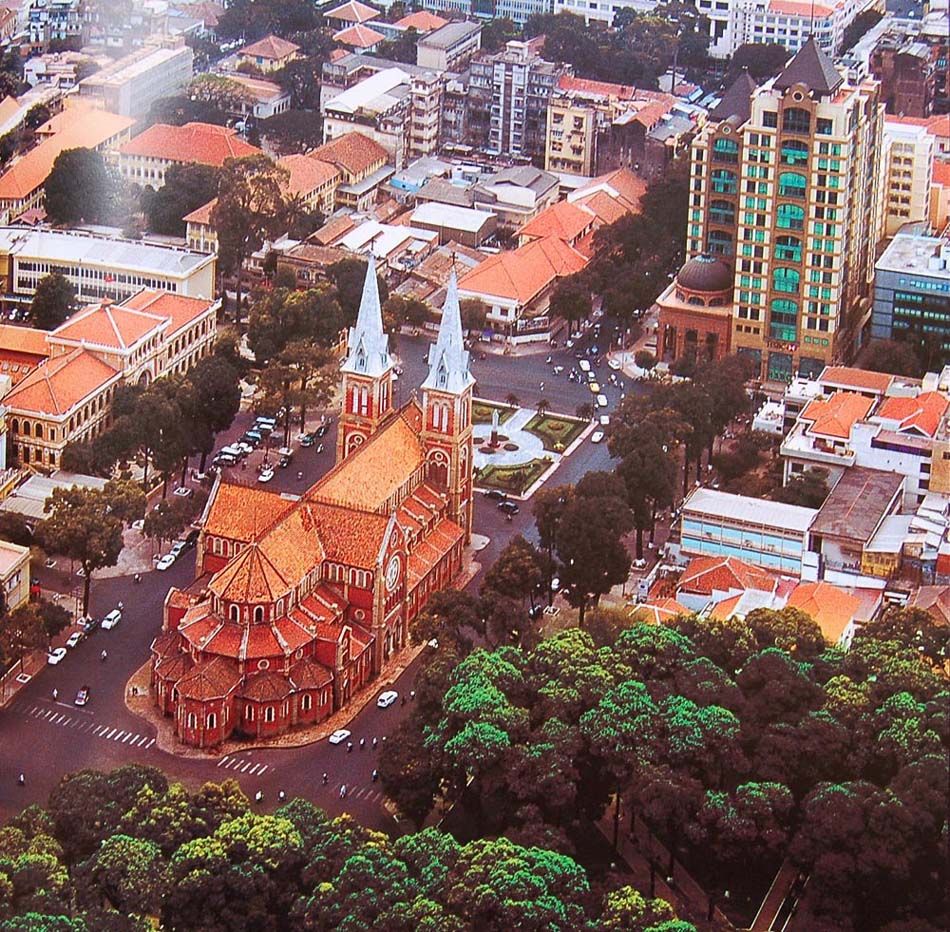
The Notre-Dame Cathedral.
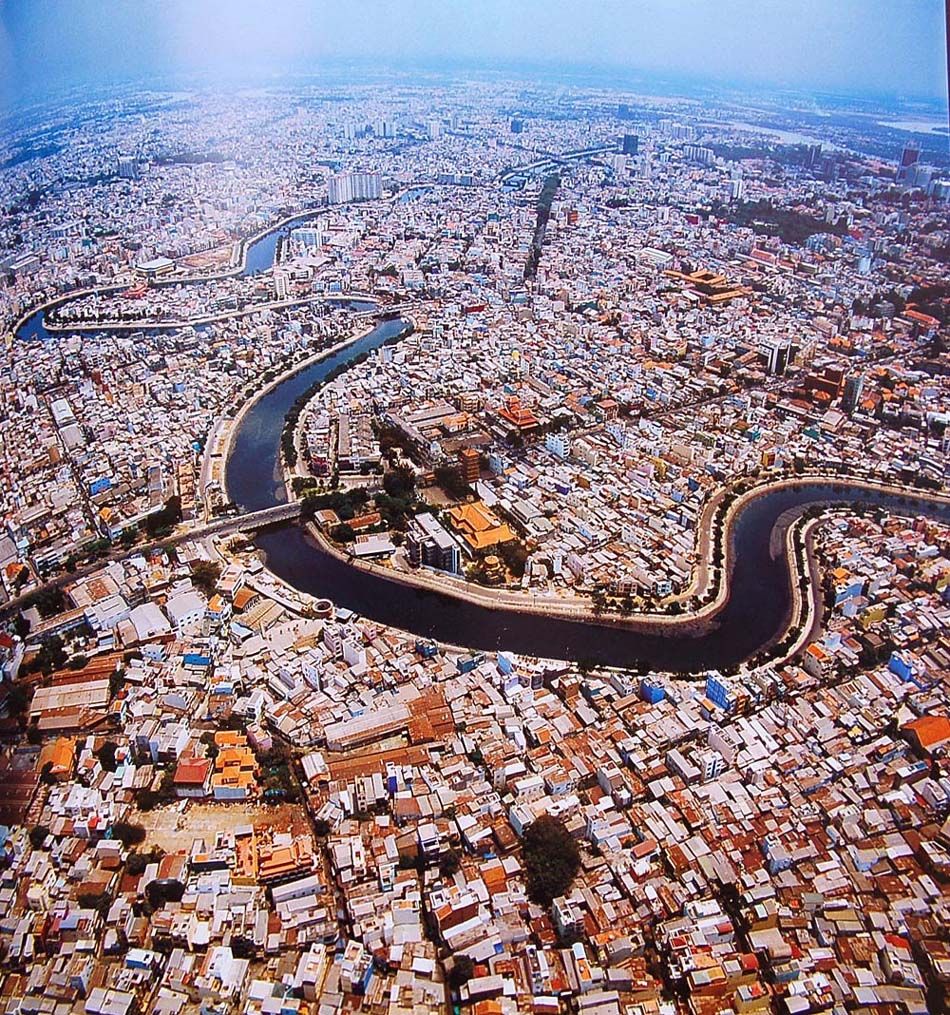
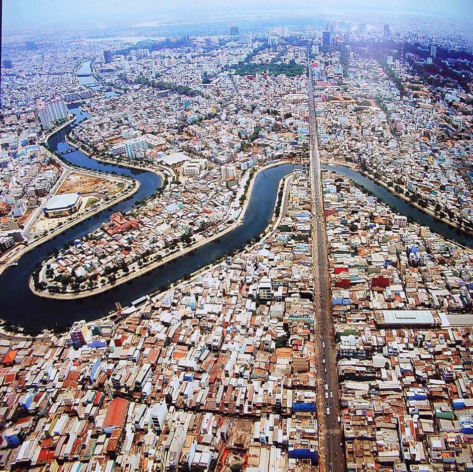
The Nhieu Loc-Thi Nghe Canal.
[Photos via Flickr user manhhai]

