While not the oldest map of Saigon we’ve come across, this 1895 map, “Plan des environs de Saïgon” shows not only downtown, but the surrounding countryside. Even after 36 years of French occupation, the city barely extended past the banks of the Saigon River.
Related Articles:
- Fun with Old Maps: Cho Lon (1923)
- Fun with Old Maps: Saigon (1790)
- Fun with Old Maps: Cochinchine (1881)
Click here for a large resolution version of the map. It's quite massive so it will take a while to load.
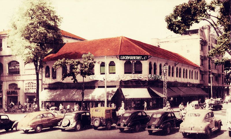
Here are some old, street-level photos of Saigon from the same year.
[Manhhai]


