In 1904, the entirety of Saigon was confined to the area we know as District 1 today. Apart from the neatly planned city center and Cho Lon’s bustling trade town, the city’s peripheral regions were overrun with swamps and thick swaths of vegetation.
In this collection of black-and-white photo, a turn-of-the-century Saigon appears wild and undisturbed by the forces of urbanization. Still, we see in these shots the early steps in the French administration’s plans to tame the wilderness of southern Vietnam. In some shots, a system of tracks that made up the Hanoi–Saigon train route, which was known then as the Trans-Indochina Railway, was being laid out amidst forests and on the riverside while groups of taut laborers erect utility poles along the railroad.
See more photos of Saigon in 1904 below:
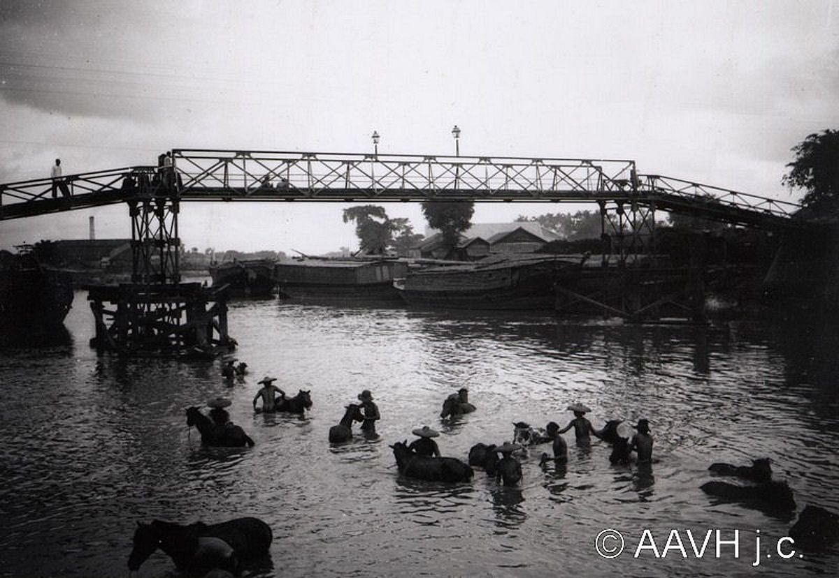
Bathing horses in the Tau Hu Canal.
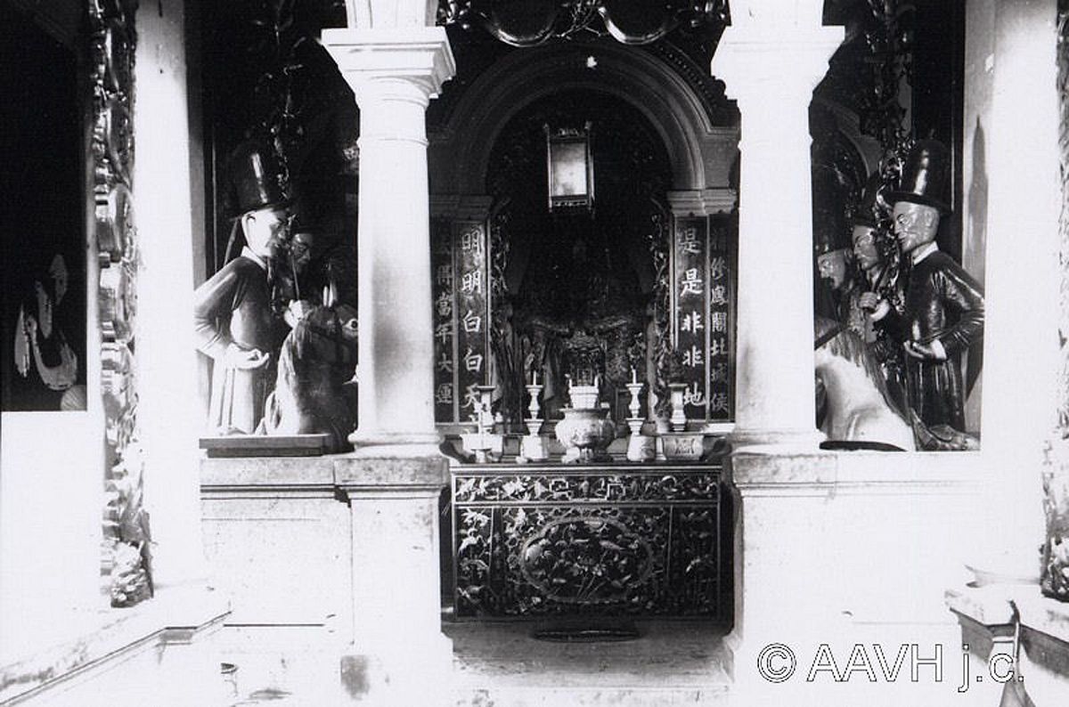
Inside a pagoda in Cho Lon.
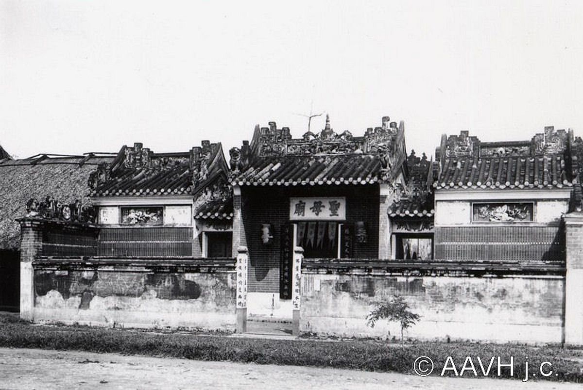
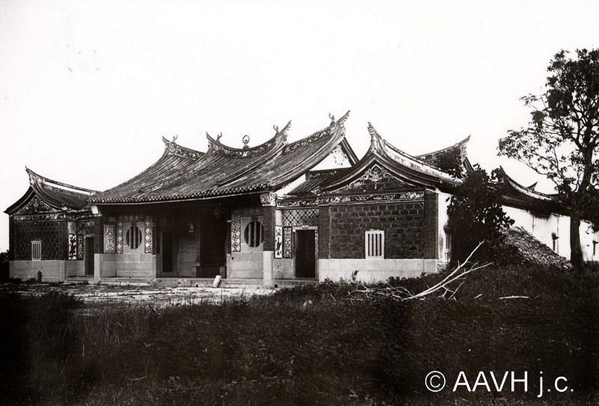
A pagoda in Cho Lon.
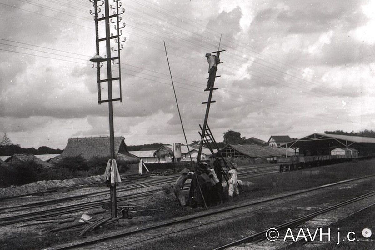
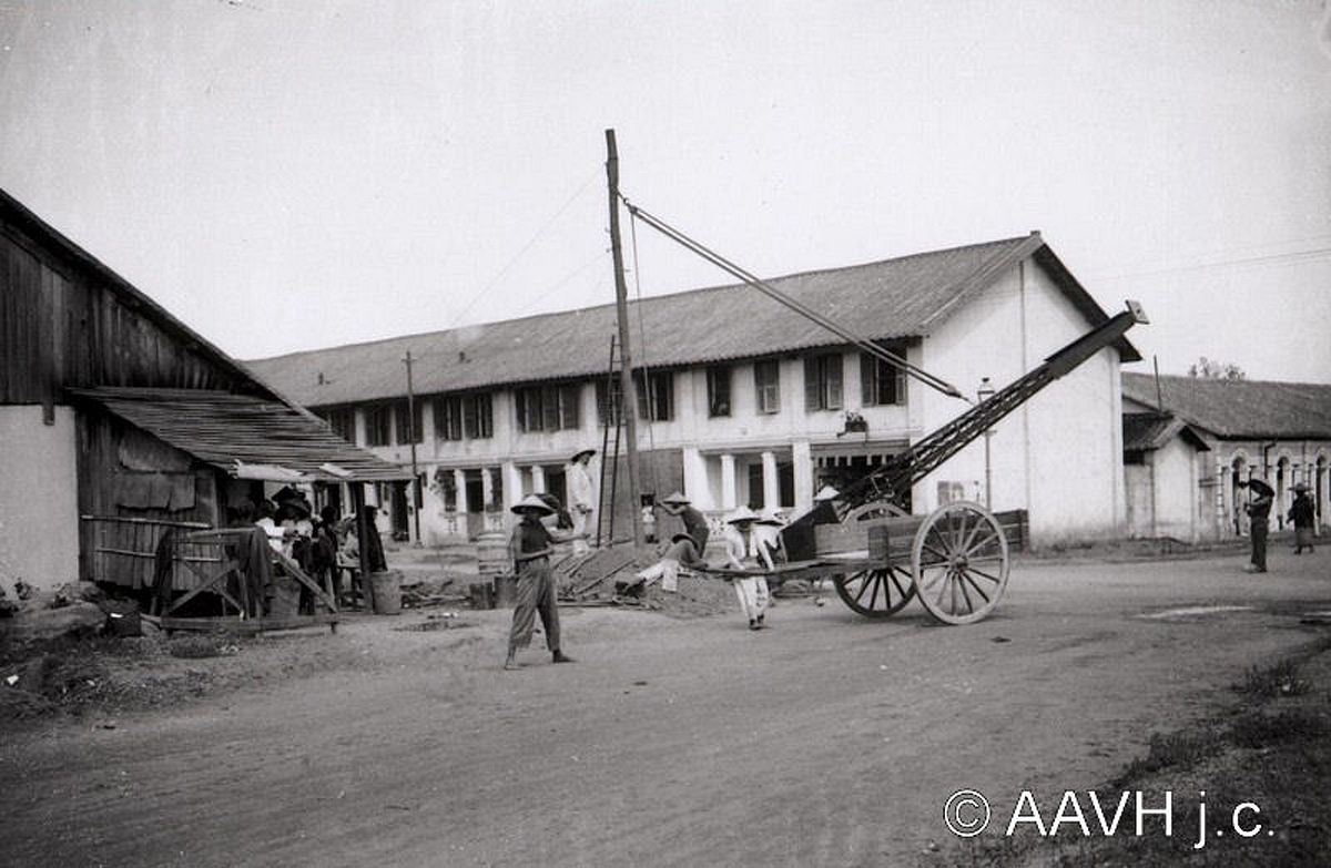
Laborers erecting utility poles.
A funeral procession at townhouse in central Saigon.
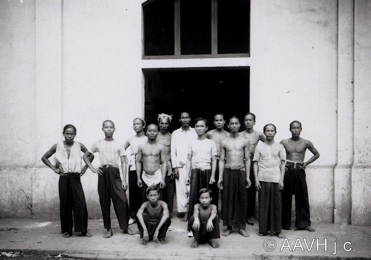
A group of laborers posing for a photo.
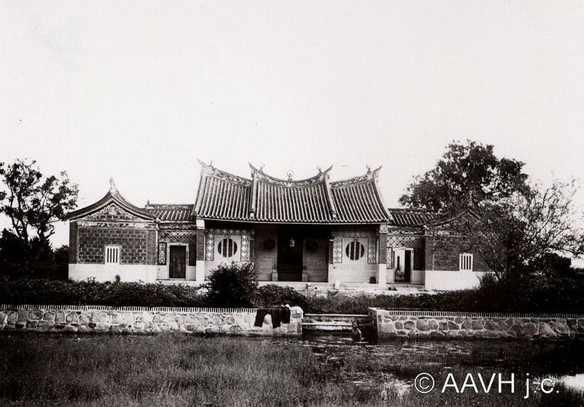
Phuoc Thien Nghia Tu, a pagoda inside Phuoc Kien Hospital (now Nguyen Trai Hospital).
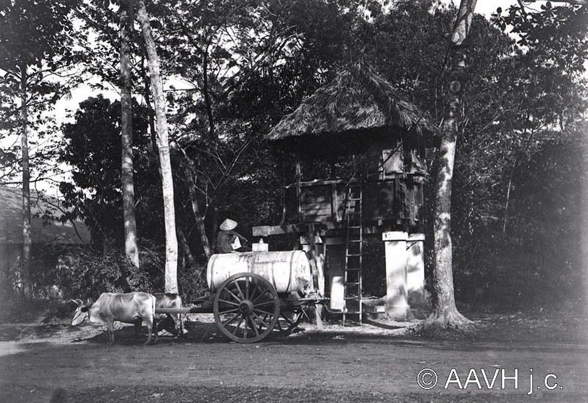
A courier distributing water.
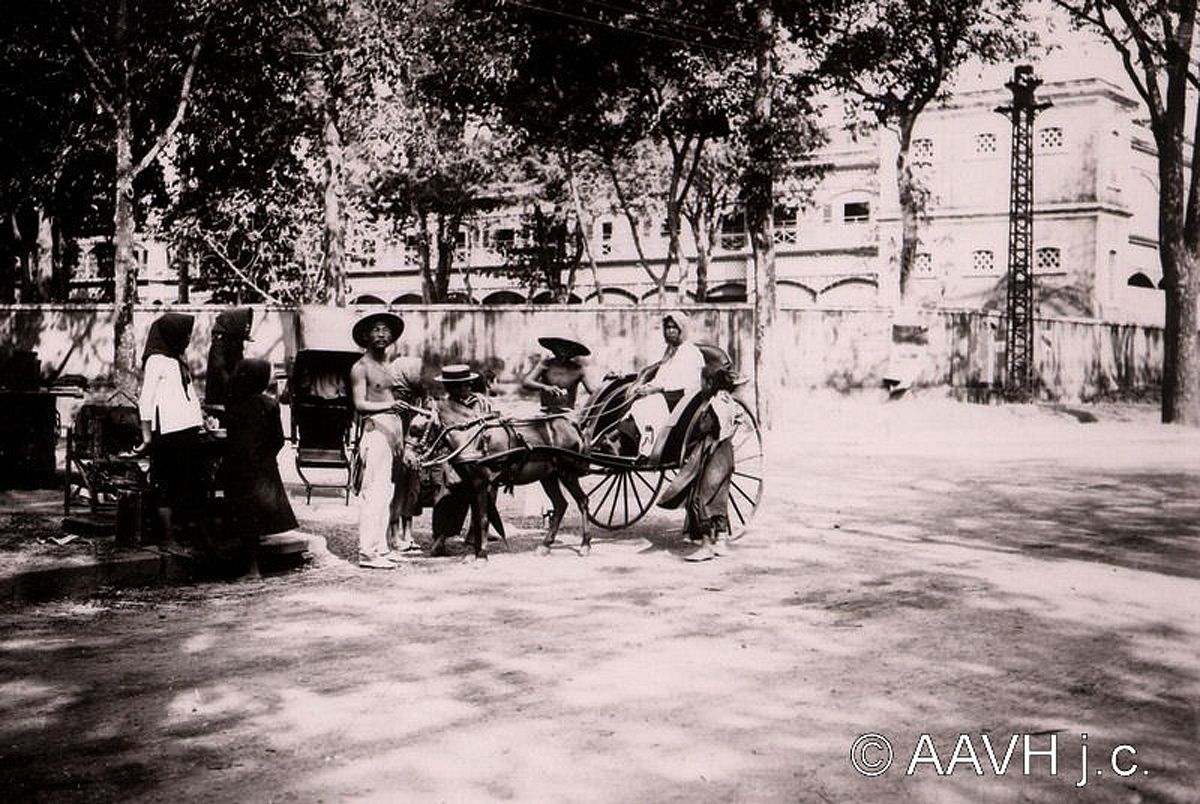
Rickshaw riders on the streets of Saigon.
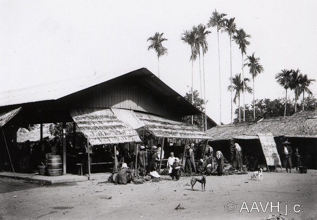
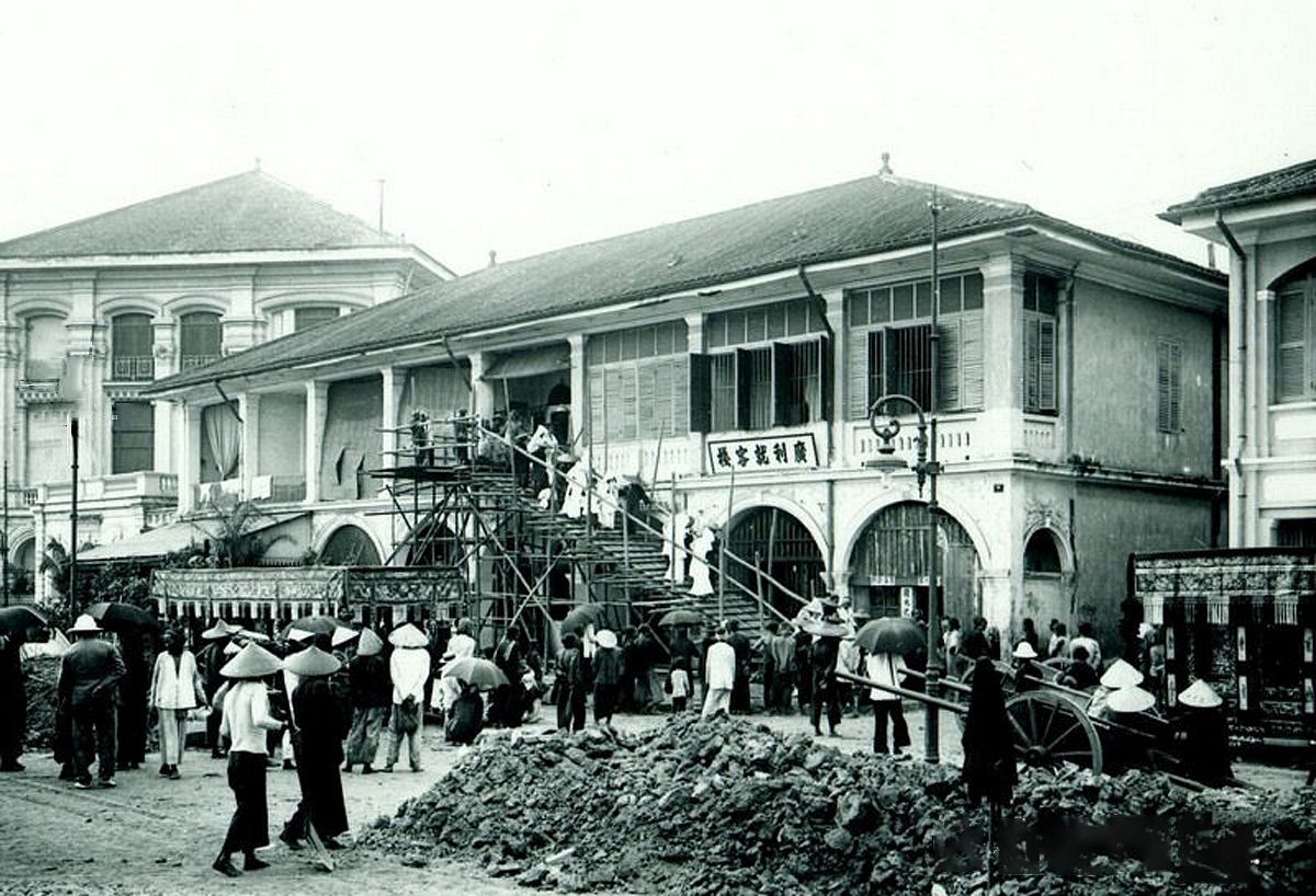
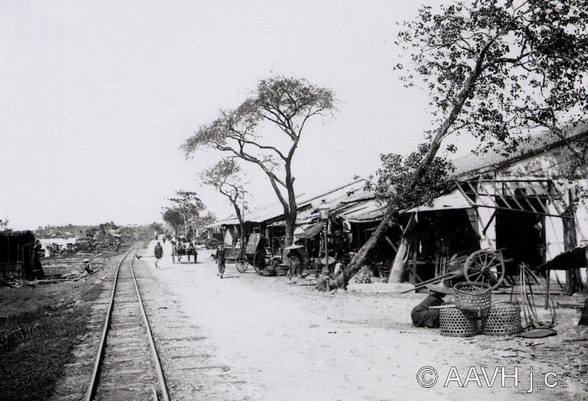
A market building in suburban Saigon.
A railway hugging the riverbank.
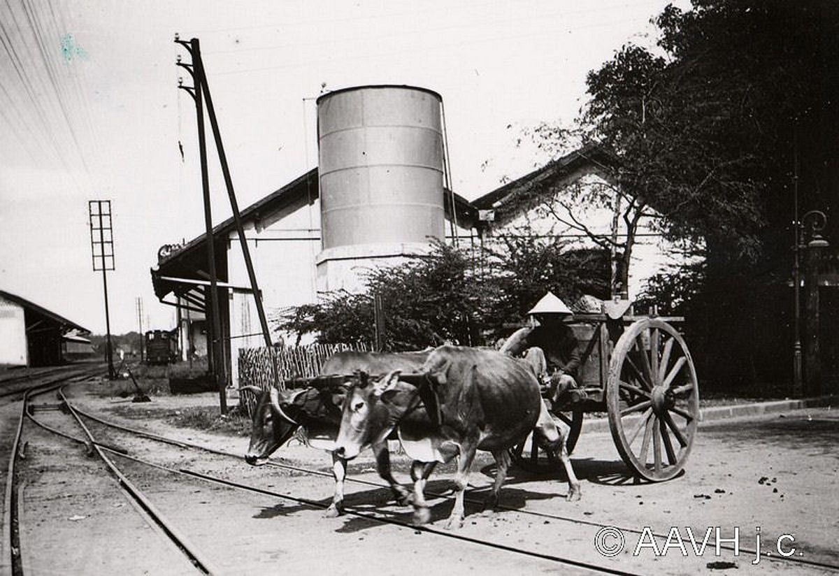
Buffalo-drawn vehicles were also a common means of transport.
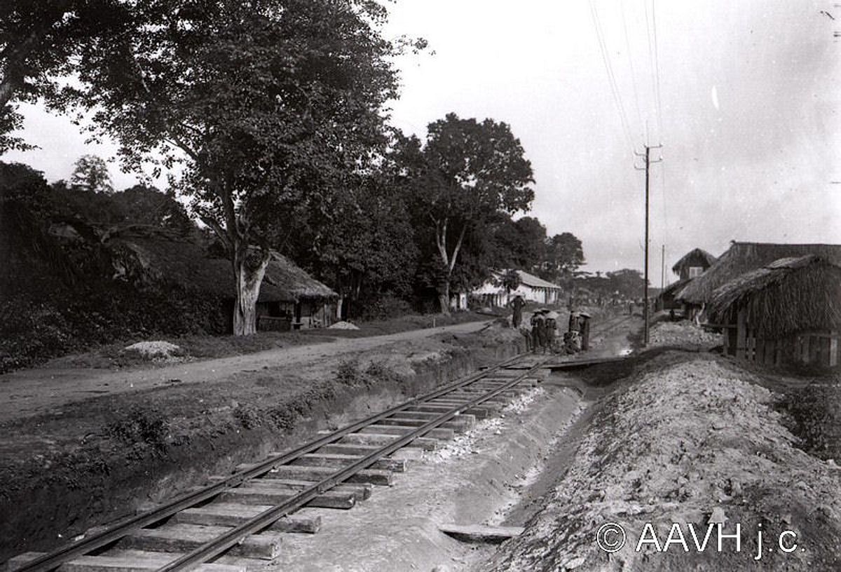
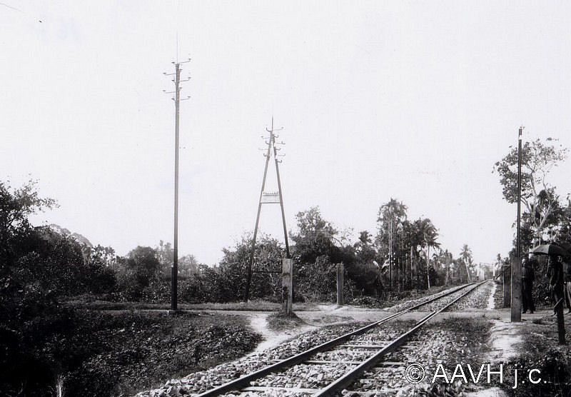
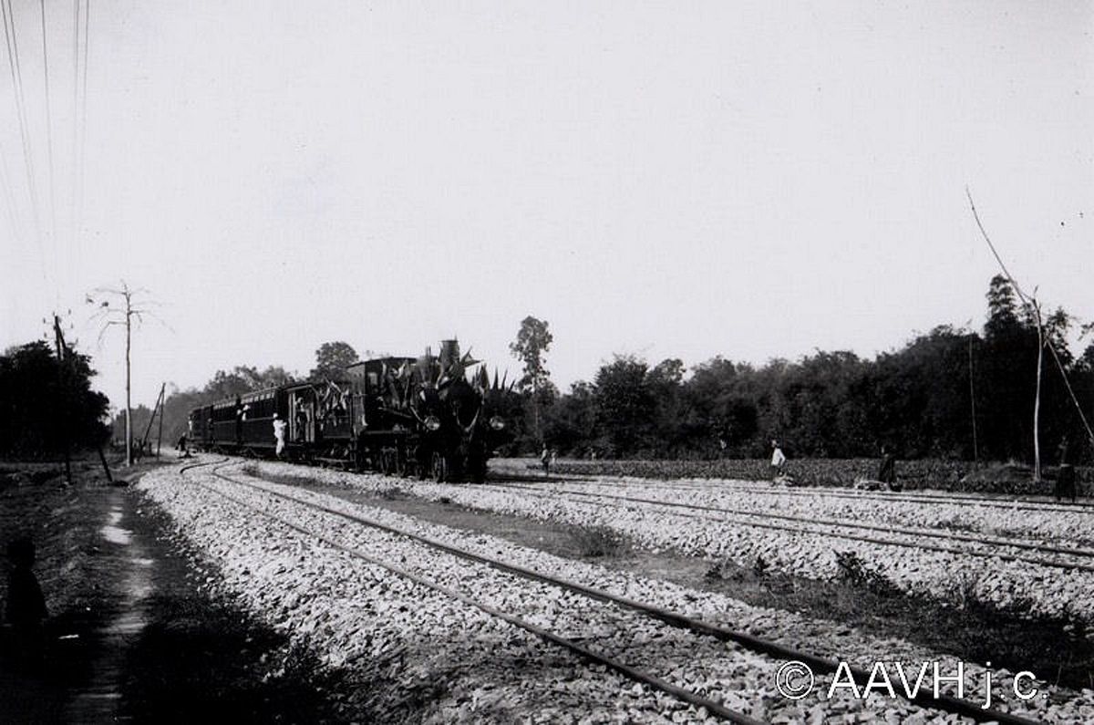
Sections of the Hanoi–Saigon railway.
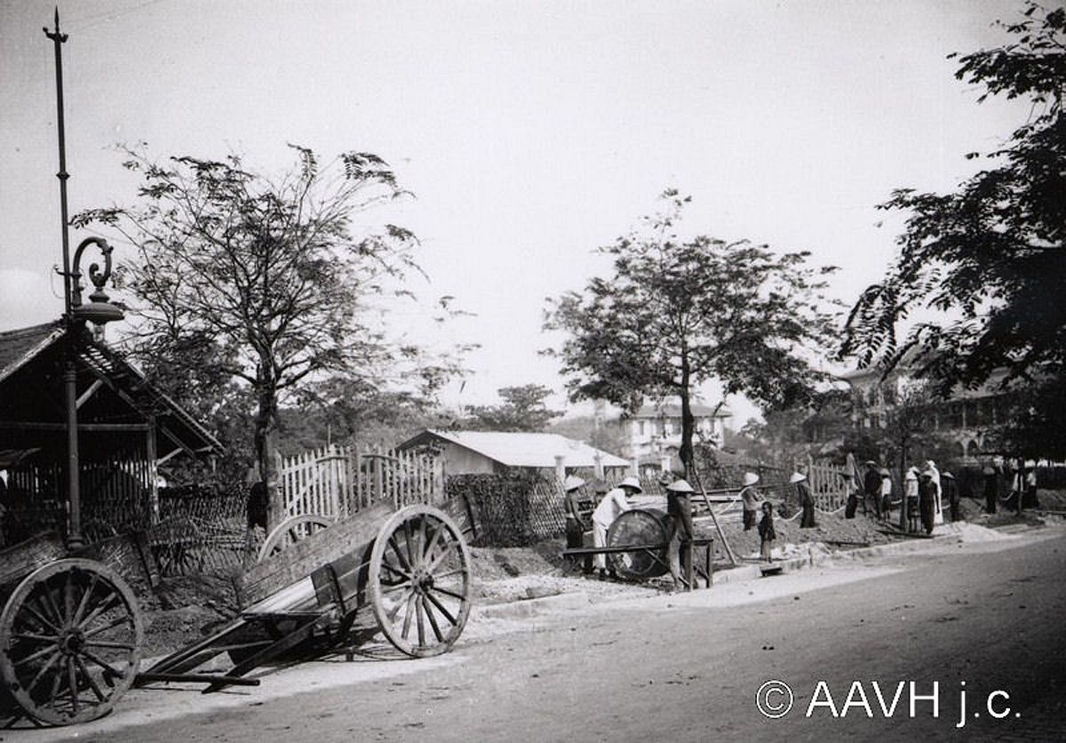
Installing subterranean cables.
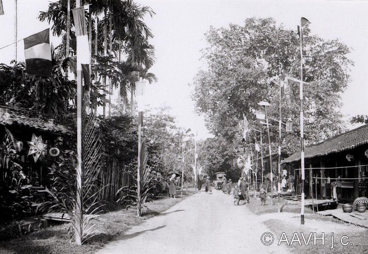
A street decorated with French flags for a holiday.

A man smoking opium.
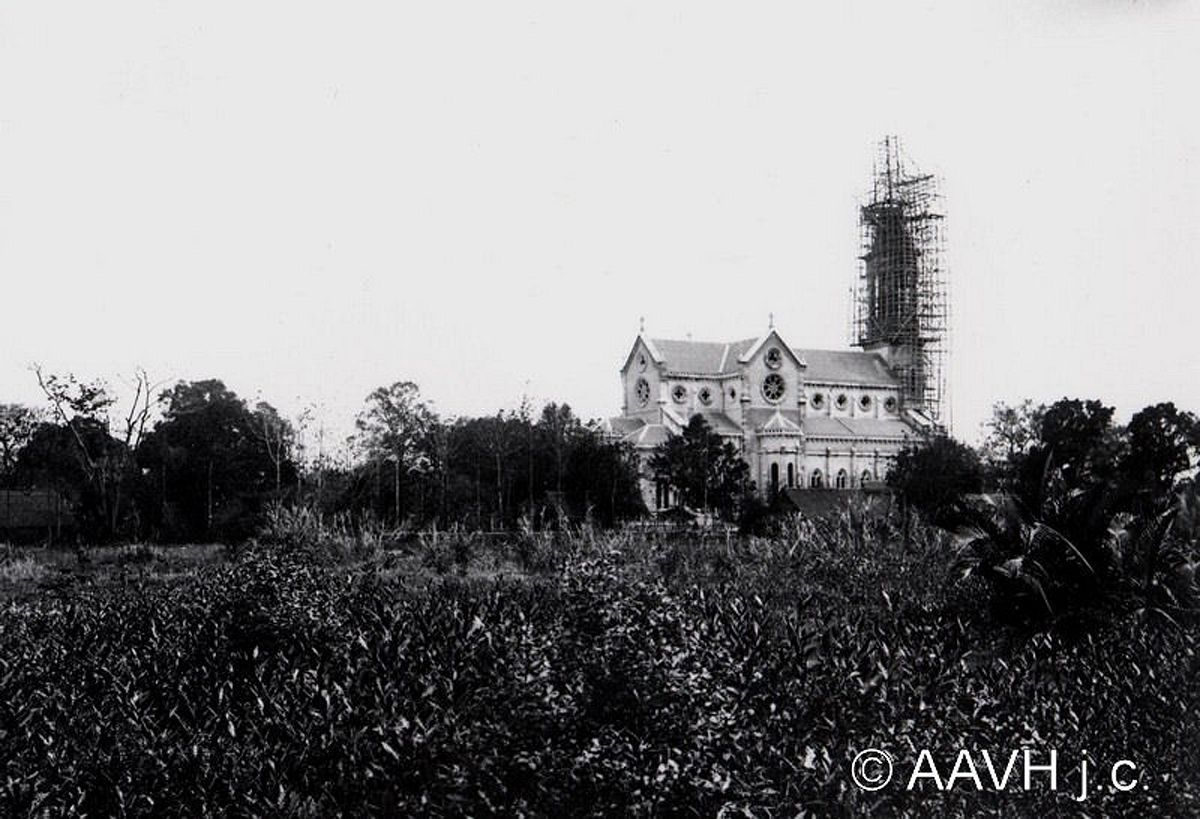
Huyen Si Church under construction.
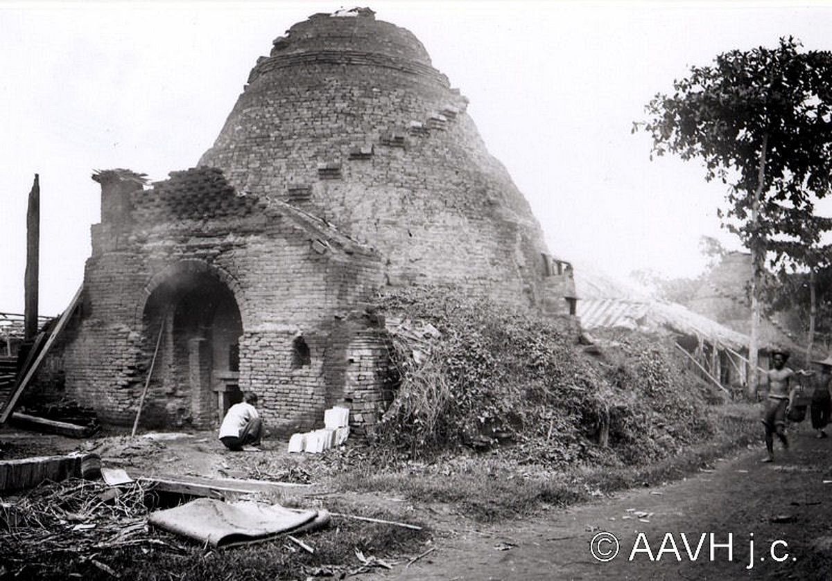
A brick kiln.
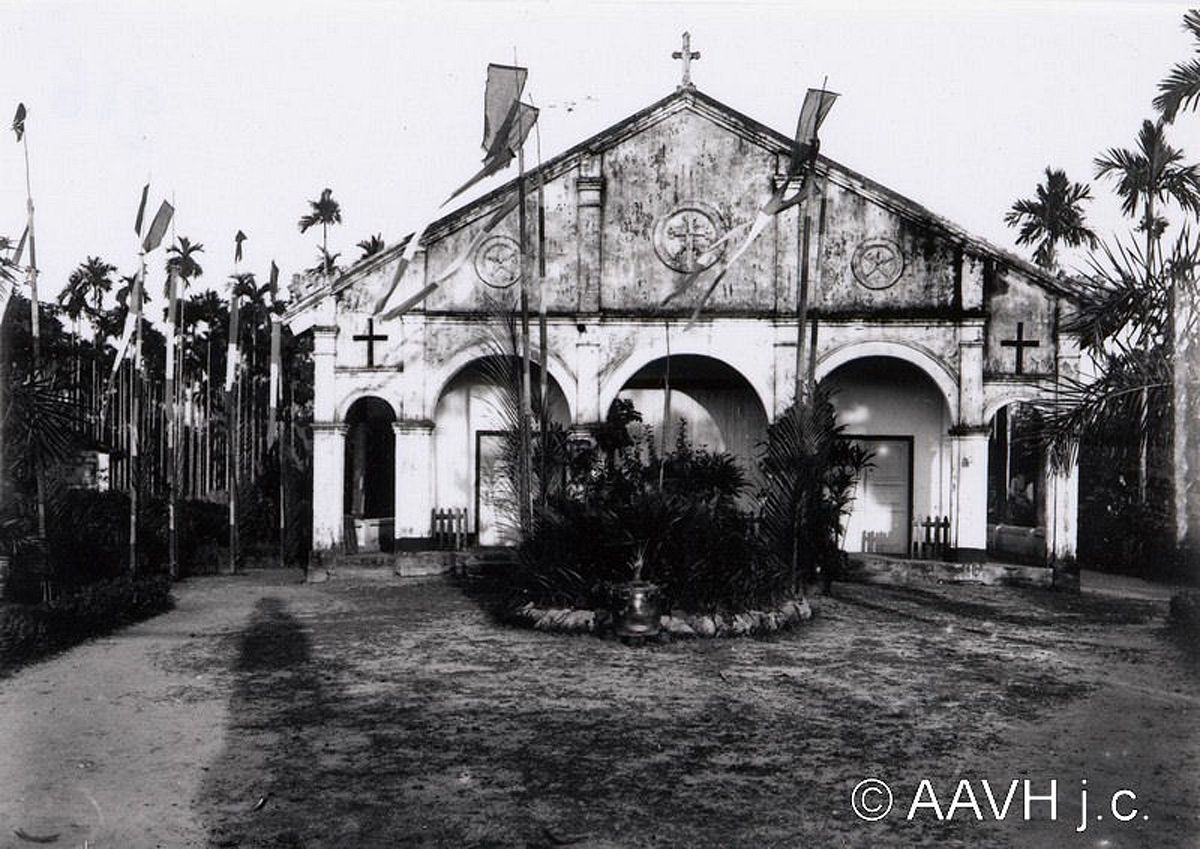
An unknown church's courtyard.
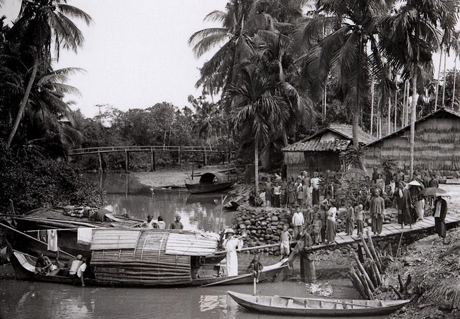
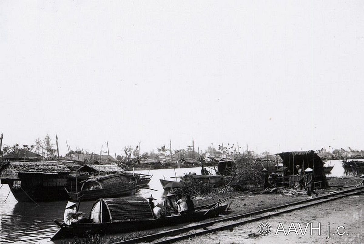
Transporting via waterways.
[Photos via Flicker user manhhai]


