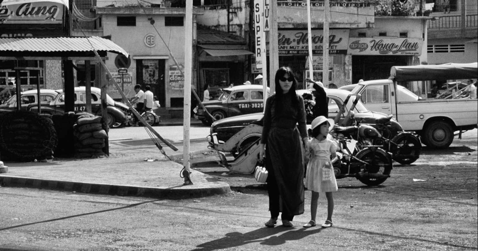
Saigon represents constant transition.
In addition to the shifts in culture and lifestyles experienced by its citizens, the land Saigon occupies is one of transmutation. Hemmed in by mangrove-lined coasts, loamy delta soil intersected by languid rivers and hills that give way to the mountains rising in the Central Highlands, the geography contains elements of each of its neighboring areas.
When first settled, Saigon could have been transformed into a facsimile of its adjacent ecosystems. Early inhabitants could have planted towering dipterocarp trees to create thick forests, or cleared scrubs and ferns to allow for vast rice paddies. Instead, the land became one of homes and factories, a jumbled assemblage of habitation and industry.
These photos taken by US serviceman Jerry Westenskow in the late 1960s and early 70s reveal Saigon already far along on its irreversible path from potential-laden natural land to its current status as a steel and concrete metropolis. Amongst the shots, undeveloped areas in Nha Be and what is now District 7 offer verdant examples of what could have been.


[Photos via RedsVN.]


