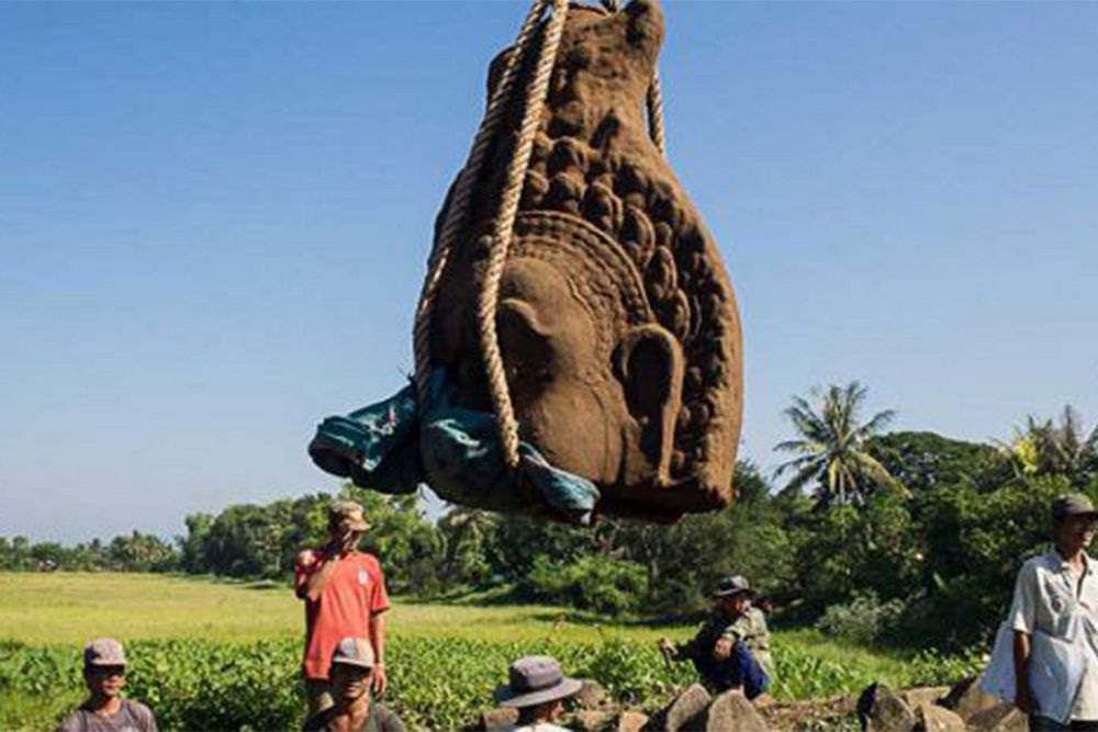
When Portuguese monk, António da Madalena, visited Angkor Wat in 1586, he was overwhelmed by the architecture of the ancient city, writing that "…[it] is of such extraordinary construction that it is not possible to describe it with a pen, particularly since it is like no other building in the world. It has towers and decoration and all the refinements which the human genius can conceive of.”
But as the jungle was pushed back and the site opened to tourists over the last century, archeologists began to understand that the only thing more impressive than the city’s ornate temples was its incredible scale.
According to the BBC, last year, a team of international archaeologists mounted a lidar unit on a helicopter, allowing the group to map the area with millions of laser beams which uncovered, “undocumented cityscapes etched onto the forest floor, with temples, highways and elaborate waterways spreading across the landscape,” which served the city’s estimated 1 million residents.
These incredible details were made possible by the lidar unit which shoots laser beams every four seconds through the jungle canopy, “recording minute variations in ground surface topography.”
Using lidar, the team, led by the University of Sydney's Dr. Damian Evans, was able to map 370 sq km around Angkor without stepping a foot into the dense jungle that is littered with landmines from Cambodia’s bloody civil war.
"You have this kind of sudden eureka moment where you bring the data up on screen the first time and there it is - this ancient city very clearly in front of you," said Dr. Evans during an interview.
Head over to the BBC to see how “these new discoveries have profoundly transformed our understanding of Angkor, the greatest medieval city on Earth,” and to learn more about the lidar system that made these findings possible.


