
Even without photographic evidence, it’s a safe bet that 1955 Saigon was a world apart from the frantic energy of today’s mammoth metropolis.
Long before the skyscrapers started going up and throngs of motorbikes appeared on the streets, the southern hub was a quieter, greener, less congested place. This is clear as day in photographer Raymond Cauchetier’s collection of black-and-white aerial photos from 1955, which depict the empty streets and tree-lined boulevards of old Saigon with a dream-like quality. From the Saigon River to Binh Tay Market to the wide thoroughfare of Nguyen Hue, everything looks a little more peaceful from above.
Take a look at 1955 Saigon from above, courtesy of Flickr user manhhai:


Ham Nghi Boulevard.


Thi Nghe Canal's Kieu Bridge connecting District 1's Hai Ba Trung and Phu Nhuan's Phan Dinh Phung Streets.
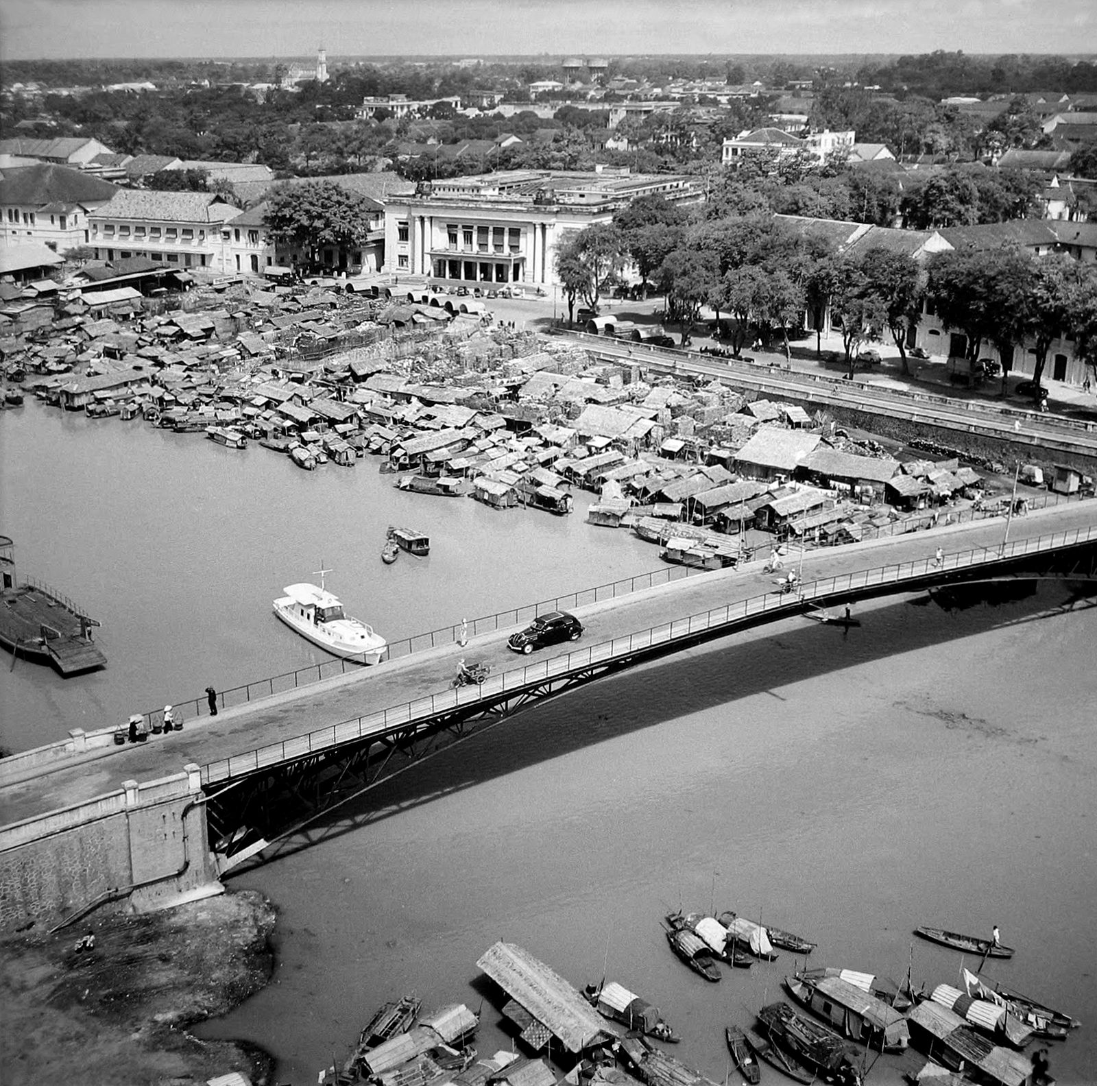
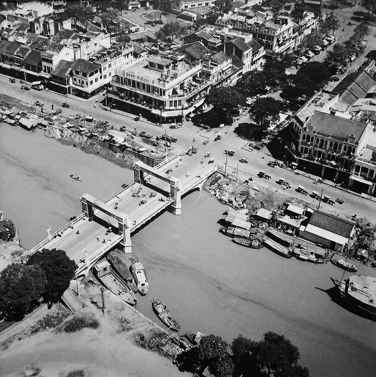
District 1's Mong Bridge.

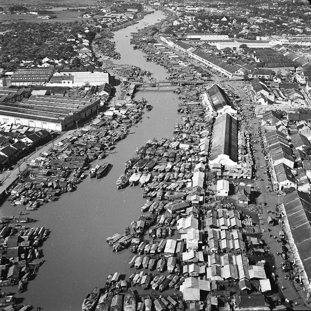
Binh Tay Market (left) and Ong Lanh Bridge (right).

Notre Dame Cathedral.


Nguyen Hue (left) and Me Linh Roundabout (right).
Ben Nghe Canal.

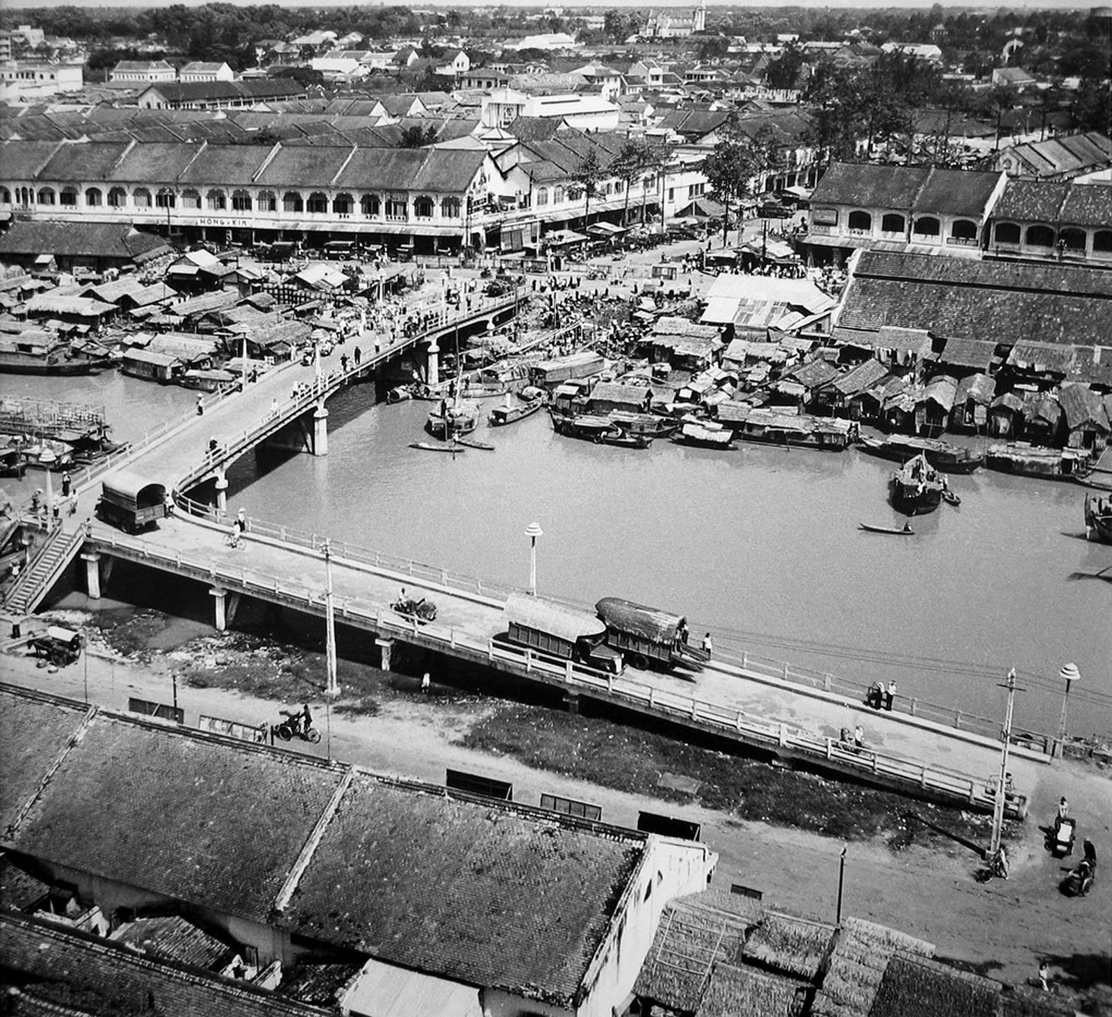
Thi Nghe's Kieu Bridge.

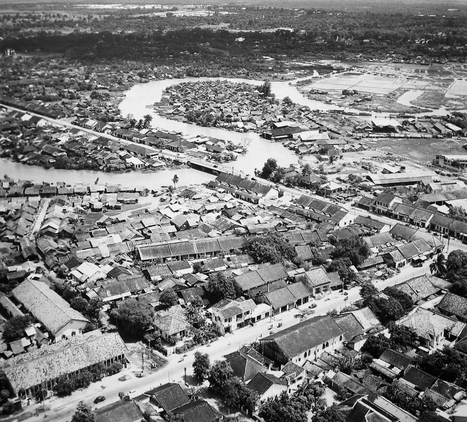
District 8's Cha Va Bridge (left) and District 6's former Bai Say Canal (right).

[Photos via Flickr user manhhai]


