Set to sweep into the Gulf of Thailand by the end of the week, Typhoon Pabuk is expected to bring heavy rains and winds to Vietnam's southernmost regions.
As of Wednesday afternoon, the storm was 360 kilometers (223 miles) southeast of Con Dao Island off the southern province of Ba Ria-Vung Tau, with wind speeds of up to 75 km/h. Over the next 24 to 48 hours, it will gather strength with 90 km/h winds and gusts of up to 117 km/h. By Thursday at 1pm, the storm is expected to be 200 kilometers south of the Ca Mau Cape in and 300 kilometers southwest of Con Dao Island.

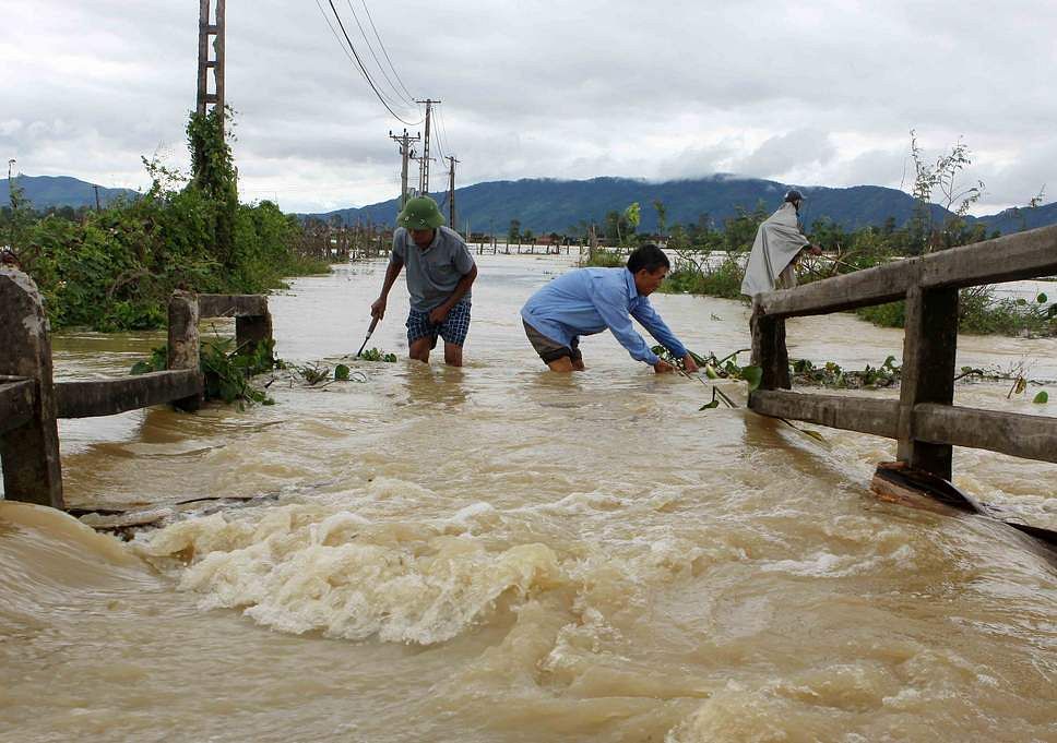
Image via Tuoi Tre.
While the storm is not expected to make direct landfall in Vietnam, its presence will be felt through Friday with strong winds, cold air and rainfall from Ba Ria-Vung Tau to Ca Mau provinces. Saigon could see 40 to 80mm of precipitation, while areas in the Mekong Delta such as Soc Trang, Bac Lieu, Ca Mau and Kien Giang provinces could receive up to 200mm. Flood warnings have been issued for low-lying areas and those around rivers with the additional potential for landslides.
On Wednesday, authorities held emergency meetings to prepare for the storm. They advised boats in southern provinces not to enter the sea and those already out to head for safe areas while remaining in radio contact. Two boats sunk yesterday, but no casualties were reported. Additionally, flights between Saigon, Can Tho and Con Dao were canceled.
While traveling across the Philippines last weekend, the storm dropped as much as 470mm of rain in some areas which caused widespread flooding and landslides. Officials on Wednesday reported 85 people died while 20 remain missing, most in the city of Bicol.
[Top image via earth.nullschool.net]


