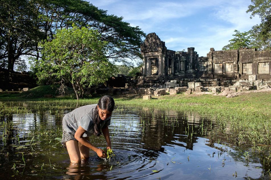
Fresh on the heels of some revolutionary discoveries, archaeologists are uncovering the daily lives of ancient Khmers at Angkor Wat.
Ever since archaeologists first began scanning the land around Angkor Wat a few years back, LiDAR technology – in which helicopter-mounted lasers scan the ground below, mapping the time it takes for these points of light to bounce back – has uncovered groundbreaking revelations that call into question the entire history of the Angkorian empire.
Now, according to the New York Times, researchers are hitting the ground with this newfound LiDAR data in an effort to learn more about the lives of average Angkorians. It’s a particularly exciting time for the archaeological community; before LiDAR’s innovative technology came into being, large-scale mapping efforts such as this used to take years, even decades.
Video via YouTube user Smithsonian Channel.
“We’ve all spent hours getting clawed and shredded by bamboo forests with thorns or dense scrub and bush, in the hope that we might find something,” archaeologist Shaun Mackey, a member of the scholarly consortium Cambodian Archaeological LiDAR Initiative (CALI), told the news outlet.
With the help of a portable GPS and the data taken from LiDAR surveys, Mackey and other archaeologists have been able to find small signs of ordinary life, like shards of pottery or remnants of old cookware.
“It’s not sexy, like a temple,” Mackey told the Times, referencing a shard of pottery he had found while studying a specific area on the LiDAR map, “but for an archaeologist it’s really interesting that we have this representation of cultural activity.”
The LiDAR scans took place in March and April of last year. After a Buddhist blessing of the CALI lasers, researchers flew for a total of 86 hours, covering 1,910 kilometers of land around the Angkor Wat area.
The resulting maps, which are in the process of being made public, completely upended a host of previous archaeological notions about Angkor. Where researchers had once believed temples were isolated from local communities, LiDAR scanning revealed a city grid surrounding the structures as well as water systems and other sophisticated infrastructure.
Armed with this new information, archaeologists are now making targeted expeditions to specific sites in order to verify the LiDAR scans and probe for further information.
“This is where Angkorian research is going to go from now on: research into the people who built the temples, not the people whom it was built for,” historian David Chandler, a professor emeritus at Australia’s Monash University, told the Times. “It’s putting the population of the city back in view.”
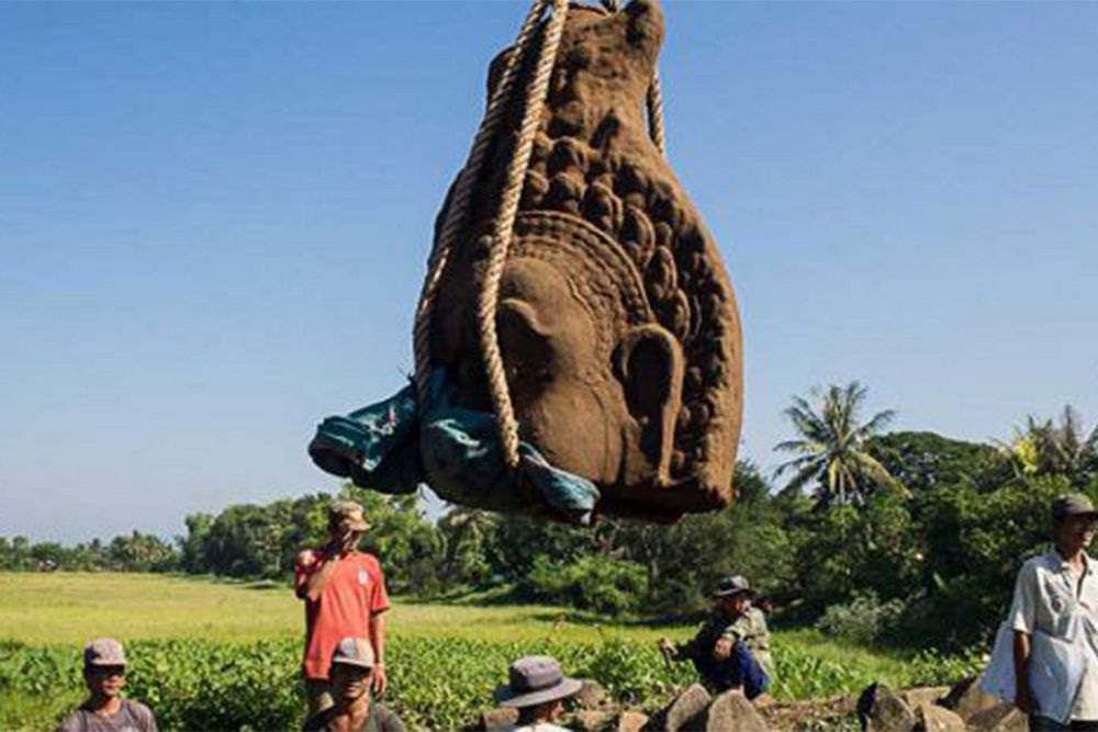
So far, a handful of new findings have turned up. The Angkorian diet, for instance, consisted of foods such as rice and pomelo, while cooks prepared meals in earthen pots over fire. Archaeologists have also pinpointed the sandstone quarry where materials for temple construction were sourced.
This new information also suggests that the Angkorian empire did not experience a dramatic fall in 1431 but, rather, slowly faded away. For Mackey, the archaeologist, these findings have the power to rewrite history.
“When myth becomes such entrenched history, archaeology is a way of challenging the written record, particularly because history is often written by the powerful who give voice to their own agendas,” he told the news outlet. “But the material remains.”
[Photo via New York Times]


