Now that ground has been broken on the underground stations in District 1, construction of HCMC’s first metro system is in full swing. But with a number of major construction sites across nearly 20km of the city, it can be tough to grasp exactly how far along it is so let’s take a closer look at the metro’s progress thus far.

The first real sign of the metro were the concrete pillars that have been going up along the North-South Highway over the past 2 years. These constitute the 17.1km aboveground portion of the line that stretches from District 9’s Suối Tiên Station to Văn Thánh Park in Bình Thạnh District.

Apart from the pillars, 2 bridges are under construction, one directly next to the Saigon Bridge, and the other over the canal near Văn Thánh Park which will be the location of the line’s final aboveground station before passing into the 2.5km underground section. This map illustrates the path of line 1 and which parts are above or below ground:

Obviously, the most significant construction on the line has taken place over the last month with downtown HCMC undergoing vast physical changes, especially along Lê Lợi Street.
Metal barriers have gone up over a large area in front of the Opera House, resulting in the chopping down of century-old trees and terrible traffic, compounded by the going-out-of-business sales at the adjacent Tax Center which has become an indirect victim of the new metro line. The 90-year-old building is set to be replaced by a 40-story tower that will include an underground connection to the adjacent 190 meter long, 26 meter wide and 40 meter deep metro station.

The subterranean station that will be built in front of Bến Thành Market (ironically overlapping with the site of Saigon’s old train station which was destroyed in the mid 80s) has been a bit slower to develop compared to its counterpart on Lê Lợi Street. But once underway, it will have an equally profound impact on the surrounding area.

Trees will be cut down at the top of 23/9 Park and the statues that have stood in front of the Market for decades will be relocated for the 3 level station that will eventually link 4 metro lines and house retail stores. Designs for the station have been approved and bidding for the project is expected to begin at the end of 2014.

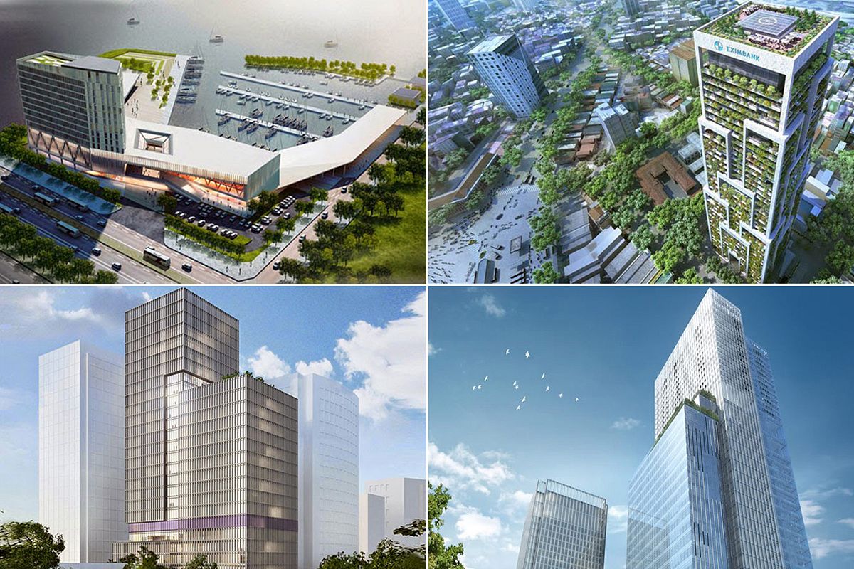
The final underground station will be built at Ba Son Port off of Tôn Đức Thắng Street. While there’s been no sign of metro construction, it’s impending arrival has caused property values to soar, resulting in a boom of large towers going up along the Saigon River.
While change can be hard to swallow, especially in a city that does little to preserve its architectural history, this long overdue metro system is vital to the city’s development and should help keep both pollution and traffic in check.


